Gipsy Lane (Nuneaton)
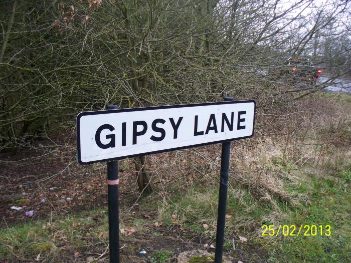

Situated in the Wem Brook and Attleborough ward areas of Nuneaton, Gypsy lane is a road with high to moderate levels of traffic filtering through the area. The road is partly consisted of open country side and residential houses when going eastwards in Nuneaton. Gypsy Lane starts from a junction with Coventry Road (B4113) and finishes all the way up to three junctions that connect with Bulkington Lane (B4112).
Gipsy Lane, related objects
Nearby cities:
Coordinates: 52°29'48"N 1°28'16"W
- Bermuda Park 0.7 km
- Hill Top 0.7 km
- Wem Brook 1.2 km
- Bede 1.6 km
- Slough 2.1 km
- Chilvers Coton 2.4 km
- Arbury Park 2.7 km
- Poplar 2.9 km
- Arbury 3 km
- Warwickshire 21 km
- Coton Arches Roundabout 2 km
- A444 Coton Road 2.3 km
- Edward Street 2.4 km
- Princes Street 2.6 km
- A444 Jubilee Way 2.8 km
- B4102 Queens Road 2.9 km
- Bond Street 3.1 km
- Manor Court Road 3.2 km
- A47 The Long Shoot 4.9 km
- Ashby Road 22 km