Henry Island.
India /
Bangla /
Harindanga /
Bakkhali
World
/ India
/ Bangla
/ Harindanga
World / India / West Bengal / South 24 Parganas
island
Add category
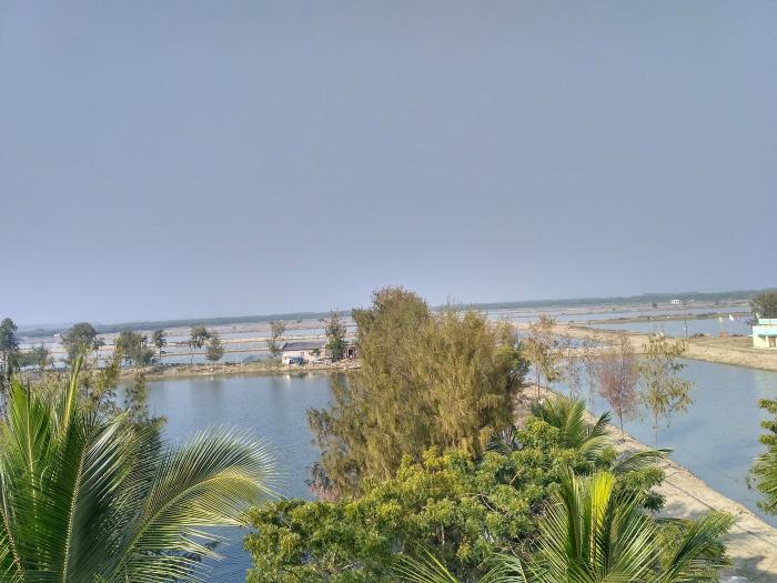
Henry Island is named after a European who surveyed land in the area in the late 19th Century. Dense mangrove forest parted by numerous canals covered the area then. Wildlife such as tiger, deer, wild pig, crocodile and snake were common. The island was only an extension of the Sunderbans and the surveyor could not have dreamt that it would become a human habitat in little more than a hundred years.
Wikipedia article: http://en.wikipedia.org/wiki/Bakkhali#cite_note-3
Nearby cities:
Coordinates: 21°34'48"N 88°17'23"E
- G Plot 21 km
- Sagardwip( latua area) 42 km
- chaimari the land of tigers 44 km
- Maipith Island 50 km
- Chamta-3 65 km
- Chamta-2 73 km
- Moore Island 76 km
- Chandkhali Island 76 km
- Talpatti Island (Bangladesh) 86 km
- Dublar Char (Dubla Island) 132 km
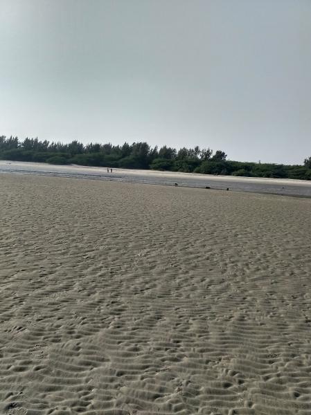
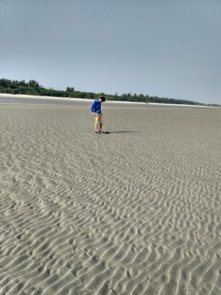
- Beach Henry's Island 1.3 km
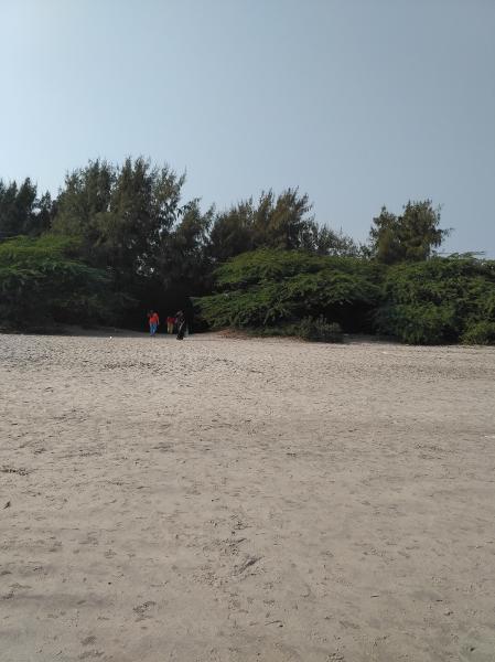
- Forest of Henry Island 1.5 km
- Bakkhali 2 km
- Bakkhali Sea Beach 2.9 km
- Boat Ride - 8 3.9 km
- Boat Ride 4.8 km
- West Side Beach 5.1 km
- Boat Ride-8 10 km
- Boat Ride -9 14 km
- Sundarbans 102 km
Comments