Damrak (Amsterdam)
Netherlands /
Noord-Holland /
Amsterdam
World
/ Netherlands
/ Noord-Holland
/ Amsterdam
World / Netherlands / Zuid-Holland
water
Add category
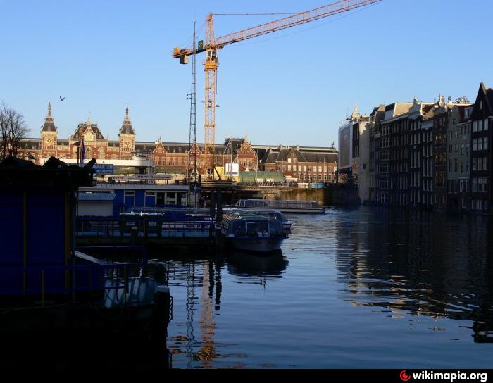
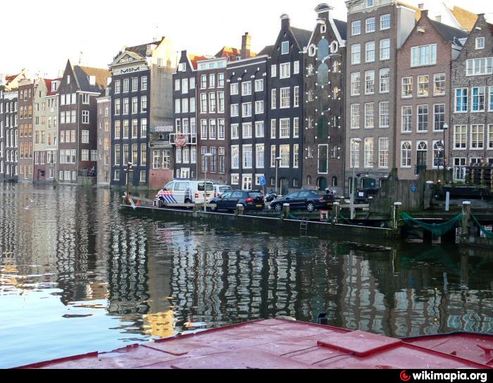
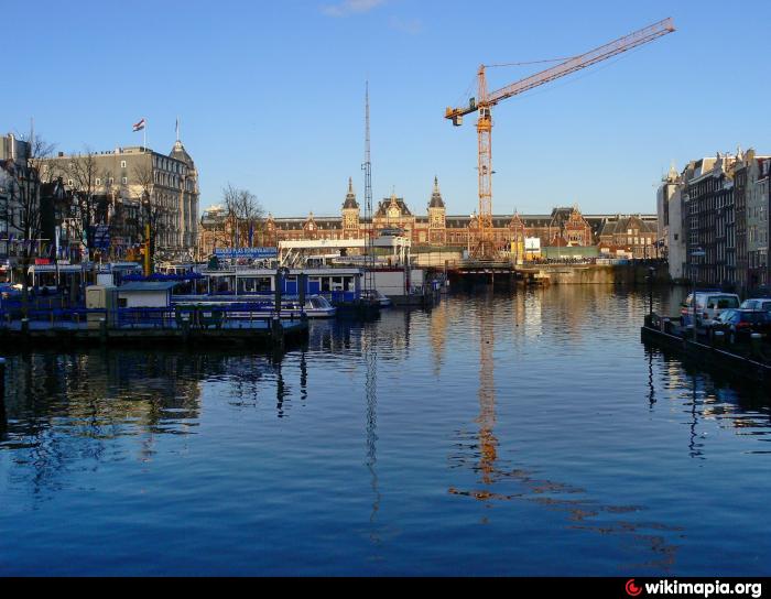
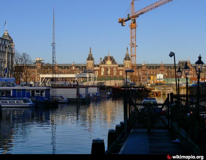


The Damrak is an avenue and partially filled in canal at the centre of Amsterdam, running between Amsterdam Centraal in the north and Dam Square in the south. It is the main street where people arriving at the station enter the centre of Amsterdam. Also it is one of the two GVB tram routes from the station into the centre, with lines 4, 9, 16, 24, and 25 running down it. It is also on the route of the North/South Line (Amsterdam metro line) being constructed between the existing metro station at Centraal Station and the new Rokin station.
Wikipedia article: http://en.wikipedia.org/wiki/Damrak
Nearby cities:
Coordinates: 52°22'34"N 4°53'52"E
- Singelgracht 1.9 km
- Kostverlorenvaart 3.1 km
- Slotervaart 7.8 km
- Nieuwe Gouw 7.9 km
- Westhaven 8.6 km
- Stootersplas 10 km
- Westeinderplassen 19 km
- North Sea Canal 24 km
- IJmondhaven 27 km
- Vlietlandmeer 42 km
- Beurs van Berlage 0.2 km
- Red Light District 'De Wallen' 0.3 km
- Nieuwmarkt 0.4 km
- Amsterdam City Centre 0.5 km
- Dam Square 0.5 km
- Hotel Sofitel Legend The Grand Amsterdam 0.6 km
- Waterlooplein 1 km
- Amsterdam (municipality) 2.4 km
- Amsterdam-Noord 5.4 km
- North Holland 35 km