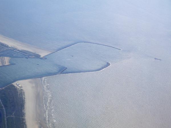
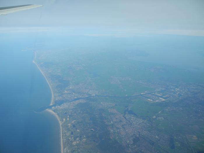
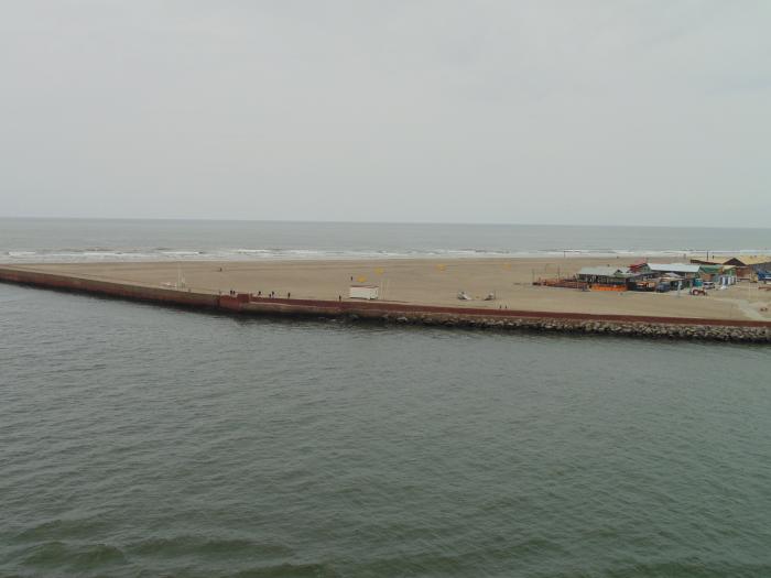
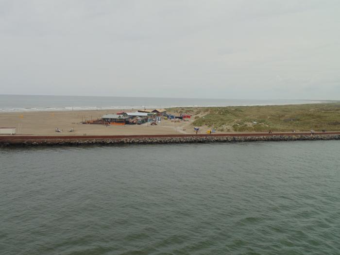
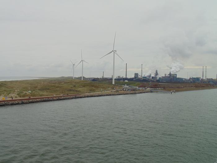
IJmondhaven
Netherlands /
Noord-Holland /
Velsen /
World
/ Netherlands
/ Noord-Holland
/ Velsen
World / Netherlands / Zuid-Holland
water, seaport
Nearby cities:
Coordinates: 52°27'57"N 4°33'53"E
- North Sea Canal 1.4 km
- Westhaven 16 km
- Sloterplas 19 km
- Slotervaart 20 km
- Stootersplas 21 km
- Kostverlorenvaart 22 km
- Singelgracht 23 km
- Nieuwe Gouw 24 km
- Westeinderplassen 24 km
- Vlietlandmeer 39 km
- Velsen (municipality) 4.2 km
- Beverwijk (municipality) 5.1 km
- Bloemendaal (municipality) 10 km
- Zandvoort (municipality) 12 km
- Amsterdamse Waterleidingduinen 15 km
- Haarlemmermeer 19 km
- Lisse (municipality) 23 km
- Noordwijk (municipality) 23 km
- North Holland 35 km
- South Holland 54 km
Comments