Auburn Dam site (Never Completed)
USA /
California /
Auburn /
World
/ USA
/ California
/ Auburn
World / United States / California
dam, abandoned / shut down, historical layer / disappeared object

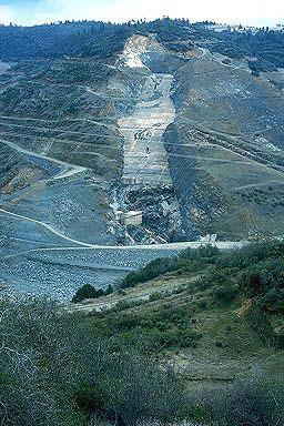


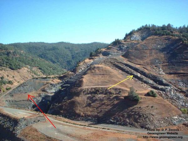
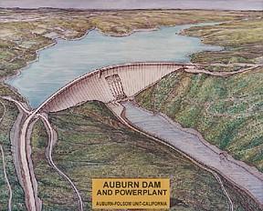
Under construction from 1965-1975. Earthquakes in 1971 and 1975 led to the cancelation of the project. The American River was scheduled to return to the old channel in 2006, as the diversion tunnel had been completed before the project was halted.
More On this check out this link:
www.geoengineer.org/auburn.htm
More On this check out this link:
www.geoengineer.org/auburn.htm
Wikipedia article: http://en.wikipedia.org/wiki/Auburn_Dam
Nearby cities:
Coordinates: 38°52'50"N 121°3'33"W
- Folsom Dam 20 km
- Fremont Weir 54 km
- Oroville Dam 83 km
- San Luis Dam 201 km
- Hidden Dam 222 km
- Dam 321 km
- Hansen Dam Recreational Area 565 km
- Lake Perris Dam 657 km
- Cerro Prieto Lake 887 km
- Painted Rock Dam 969 km
- Cool, California 4.1 km
- Pilot Hill, California 5.8 km
- Rattlesnake Bar 7.3 km
- The Ridge Golf Club & Events Center 7.4 km
- DeWitt General Hospital (site)/DeWitt Government Center 7.6 km
- Auburn Lake Trails, California 8.3 km
- Auburn Municipal Airport (AUN/KAUN) 8.4 km
- Lake Clementine 9 km
- Cronan Ranch Regional Trails Park 10 km
- Folsom Lake 13 km