Star map
USA /
Nevada /
Boulder City /
World
/ USA
/ Nevada
/ Boulder City
World / United States / Nevada
monument
Add category
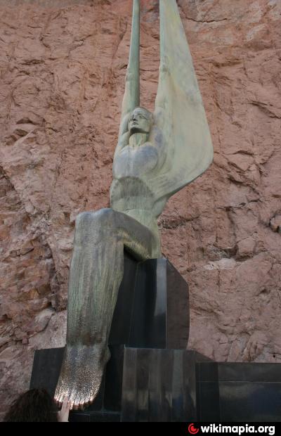
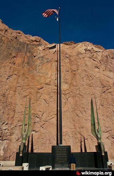
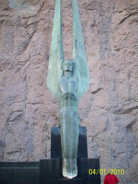
A large map of the constellations is inlaid on the ground, showing the path of the direction of the Earth's north pole among the stars due to precession. It indicates the position of the pole as of the year the dam was constructed (near Polaris), as a nonverbal means of communicating this date to civilizations of the distant future.
Nearby cities:
Coordinates: 36°1'0"N 114°44'20"W
- The Grand Canyon (western section) 72 km
- The Grand Canyon (west-central section) 161 km
- Pipe Spring National Monument 202 km
- Cedar Breaks National Monument 248 km
- U.S. National Park Service Grounds 317 km
- Cesar E. Chavez National Monument 357 km
- Camp Horn, Arizona 359 km
- Cabrillo National Monument 437 km
- Pinnacles National Park 586 km
- Muir Woods National Monument 731 km
- Hoover Dam 0.1 km
- Black Canyon 1 km
- Cape Horn 1.8 km
- Gold Strike Canyon 1.9 km
- Hemenway Harbor 3.1 km
- Boy Scout Canyon 3.9 km
- Special Events Beach 3.9 km
- Lake Mead: Boulder Basin 8 km
- Mount Wilson 12 km
- Lake Mead 43 km