Panorama
Greece /
Attiki /
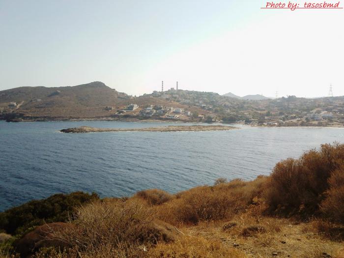
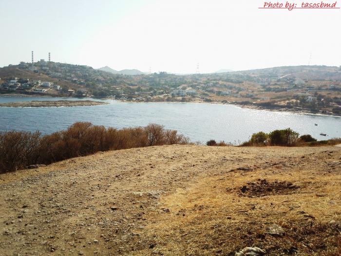
Laurion /
World
/ Greece
/ Attiki
/ Laurion
, 4 km from center (Λαύριον)
World / Greece / Stereá Elláda
region
Add category
Nearby cities:
Coordinates: 37°45'10"N 24°4'9"E
- Μesogeia 39 km
- Attica 107 km
- Saronic Islands 111 km
- Peripheral unit of Argolis 148 km
- Peripheral unit of Boeotia 167 km
- Peripheral unit of Corinthia 168 km
- Peripheral unit of Lakonia 170 km
- Peripheral Unit of Magnesia / Peripheral Unit of Northern Sporades 245 km
- Peripheral unit of Phthiotis 258 km
- Mount Athos (Agion Oros) 301 km
- Mazut and Natural Gas Power Plant of Lavrion (1572 MW) 1 km
- Velatouri 1.8 km
- Thoriko Bay 2.6 km
- Vromopousi 3.1 km
- Porto Ennea 4.4 km
- Lavreotiki 5.3 km
- Strait of Makronisos 5.5 km
- Municipality of Saronikos 10 km
- Mount Paneio (Pani) 11 km
- Saronic Gulf 45 km