Peripheral unit of Argolis
Greece /
Argolis /
Drepanon /
World
/ Greece
/ Argolis
/ Drepanon
, 5 km from center (Δρέπανον)
World / Greece / Peloponnisos
region, prefecture, draw only border
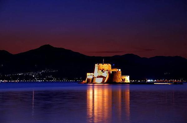
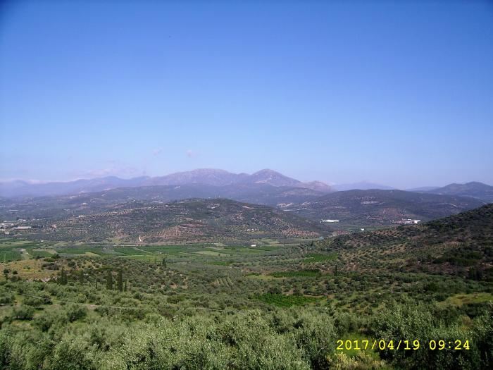
Argolis (modern Greek: Αργολίδα Argolida, ancient Greek/Katharevousa: Ἀργολίς—the official, formal name) is one of the 74 peripheral units of Greece. It is located in the eastern part of the Peloponnese. Most arable land lies in the central part. Its primary agricultural resources are oranges and olives, and beaches are found in the south and east; mountains and hills dominate the west, northeast and east.
It is bounded by Arcadia to the west and southwest, Korinthia to the north, the Saronic Gulf, and the Troezen area to the east and southeast over water, and the Argolic Gulf to the south. (The Argolid of ancient times included Troezen.)
Its mountain ranges include Lyrkeia and Trachy in the northwest.
Wikipedia article: http://en.wikipedia.org/wiki/Argolis
Nearby cities:
Coordinates: 37°34'23"N 22°55'21"E
- Peripheral unit of Arcadia 105 km
- Cyclades 122 km
- Peripheral unit of Euboea 163 km
- Peripheral unit of Phthiotis 212 km
- Peripheral Unit of Magnesia / Peripheral Unit of Northern Sporades 226 km
- Peripheral unit of Aetolia-Acarnania 262 km
- Dodecanese 282 km
- Peripheral unit of Larissa 306 km
- Peripheral unit of Ioannina 385 km
- Peripheral unit of Evros 513 km
- Latomio (quarry ) 0.8 km
- Drepano Lagoon 4.4 km
- Gulf 4.9 km
- Quarry 5.7 km
- Barbouna Hill - Λόφος Μπαρμπούνα 6.7 km
- Platia 8.7 km
- Romvi 8.8 km
- Psili 16 km
- Argolic Gulf 25 km
- Saronic Islands 26 km