Umm Walad
Syria /
as-Suwayda /
World
/ Syria
/ as-Suwayda
/ as-Suwayda
, 15 km from center (السويداء)
World / Syria / Dar`a
town
Add category
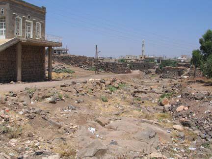
Umm Walad (Arabic: أم ولد, also spelled Om Walad) is a town in southern Syria, administratively part of the Daraa Governorate, located east of Daraa in the Hauran region. Nearby localities include Ira to the southeast, Jabab to the south, al-Musayfirah to the southwest, al-Karak to the northwest, al-Thaalah to the north and al-Suwayda to the northeast. According to the Syria Central Bureau of Statistics (CBS), Umm Walad had a population of 7,547 in the 2004 census.
www.omwalad.net
www.omwalad.net
Wikipedia article: http://en.wikipedia.org/wiki/Umm_Walad
Nearby cities:
Coordinates: 32°39'34"N 36°25'58"E
- Nawa 48 km
- Hawara area 53 km
- as-Sareeh 54 km
- Hartha 57 km
- Northern almazar 64 km
- Sakib 73 km
- Khan ash-Shih 89 km
- As Salt 95 km
- Al Damour 153 km
- Bouchriyeh 166 km
- منزل عيسى و اخيـــــــــــــــــــــــه اسماعيل عوض الحسيـــــــــــــــــــــــــــــــــــــن 1.4 km
- الارض الى الشيخ خالد محمد الرفاعي ابو وليد 1.5 km
- Air Defense Site, SA-2. Last used pre Civil War. 4 km
- Tha'lah Airbase 5.1 km
- Al-Musayfrah Subdistrict 7.6 km
- Markaz As-Suwayda Subdistrict 12 km
- al-Arab Mountain 26 km
- Daraa Governorate (PCS) 32 km
- Horan Plain 33 km
- As-Suwayda Governorate (PCS) 45 km
منزل عيسى و اخيـــــــــــــــــــــــه اسماعيل عوض الحسيـــــــــــــــــــــــــــــــــــــن
الارض الى الشيخ خالد محمد الرفاعي ابو وليد
Air Defense Site, SA-2. Last used pre Civil War.
Tha'lah Airbase
Al-Musayfrah Subdistrict
Markaz As-Suwayda Subdistrict
al-Arab Mountain
Daraa Governorate (PCS)
Horan Plain
As-Suwayda Governorate (PCS)
Comments