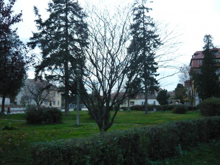
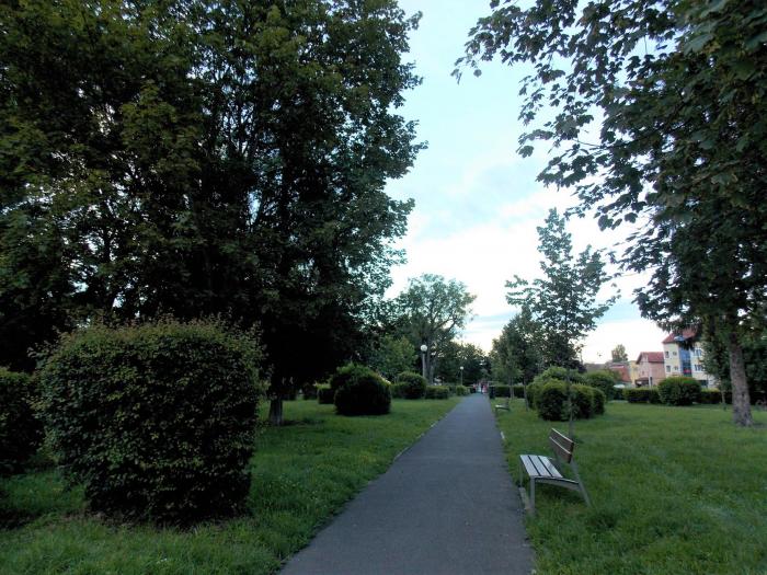
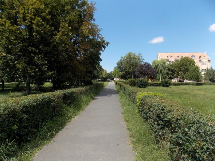
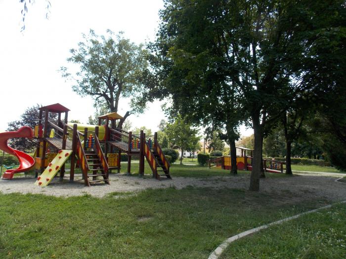
Reconstructiei Park
Romania /
Sibiu /
Lungă Street
World
/ Romania
/ Sibiu
/ Sibiu
World / Romania
park
Add category
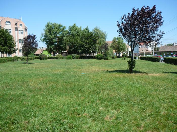
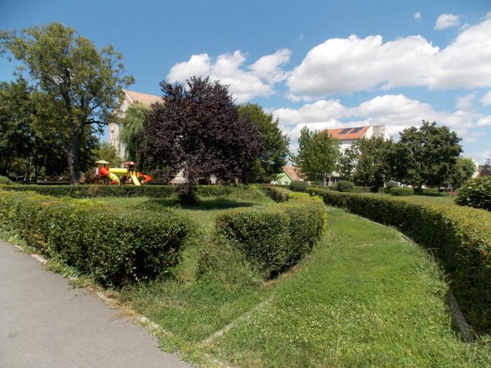
In this place was a old cemetery established in 1603.It was the second oldest cemetery outside the city walls,the first one beeing under todays County Hospital(south-east of the historic center) and beeing established in 1554.
Later this cemetey became Roman-Catholic
Can be observed on the 1699,1751,1860,1875,1883,1914 maps ot the city.
Later this cemetey became Roman-Catholic
Can be observed on the 1699,1751,1860,1875,1883,1914 maps ot the city.
Nearby cities:
Coordinates: 45°48'2"N 24°8'33"E
- Guşteriţei Hill (Gregori Hill) 3.8 km
- Gușterița Forest 4 km
- Burchii (Cisnădie) Forest 5.1 km
- Carpathian Valley National Golf course & Country Club 6.3 km
- Dumbrava Sibiului Natural Park (Dumbrava Forest) 6.7 km
- Mohu Forest 7.1 km
- Catrina Forest 8.7 km
- Tufari Forest 9 km
- Forest north of Sibiel 18 km
- Vulcanii noroioşi de la Haşag Natural Monument 19 km
- Piata Cluj Area (Konrad Wiese) 0.5 km
- Lower Town 0.7 km
- Terezian 0.7 km
- Historic Center 0.8 km
- Central Area (outside the Historic Center) 1.1 km
- Tiglari 1.4 km
- Sibiu 2.1 km
- Turnişor 2.7 km
- North West Developing Area 3.5 km
- Sibiu County 14 km