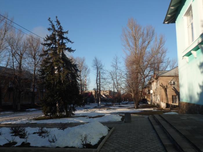
Mykolaivka
Ukraine /
Donetska /
Rayhorodok /
World
/ Ukraine
/ Donetska
/ Rayhorodok
, 7 km from center (Райгородок)
World / Ukraine / Donets'k
city
Add category
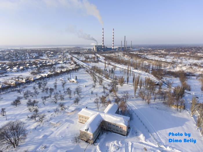
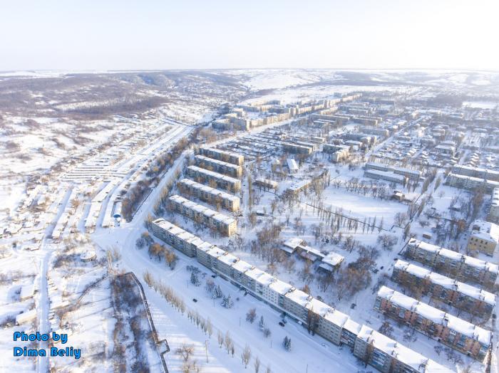
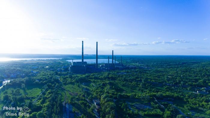

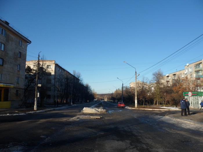
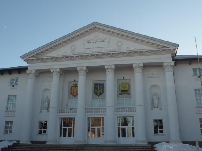
A city of district significance and administrative centre of Mykolaivka City United Territorial Community in the Sloviansk Raion (district) of the Donetsk Oblast (region) of Ukraine.
Until 2016 it was part of the Sloviansk City Council.
Mykolaivka is part of the Kramatorsk agglomeration.
Founded in 1730.
Population: 14.917 (2018).
Until 2016 it was part of the Sloviansk City Council.
Mykolaivka is part of the Kramatorsk agglomeration.
Founded in 1730.
Population: 14.917 (2018).
Wikipedia article: http://en.wikipedia.org/wiki/Mykolaivka,_Donetsk_Oblast
Nearby cities:
Coordinates: 48°51'0"N 37°46'8"E
This article is protected.
- Makiivka 72 km
- Donetsk 87 km
- Luhansk 100 km
- Rostov-on-Don 205 km
- Dnipro 223 km
- Krasnodar 410 km
- Volgograd 467 km
- Sochi 547 km
- Samsun Metropolitan Municipality 825 km
- Tbilisi 945 km
- Pond 0.3 km
- Avangard Stadium 0.7 km
- Park 0.7 km
- vulytsia Sichovykh Striltsiv, 6 0.9 km
- Ploshcha Sveshnikova 1 km
- Славянская районная больница 1.2 km
- Forest 1.7 km
- Forest 2.5 km
- Mykolaivka Urban Hromada 3.9 km
- Lyman City Hromada 18 km