The demolished Bucharest (Bucharest)
Romania /
Bukarest /
Bucharest
World
/ Romania
/ Bukarest
/ Bucharest
World / Romania
draw only border, urban/built-up area, historical layer / disappeared object, historic district

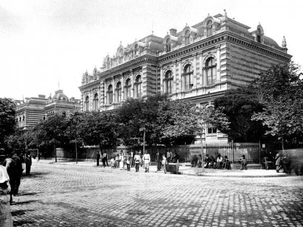


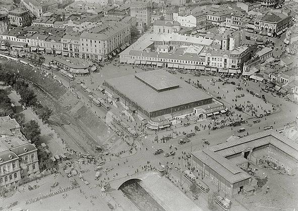
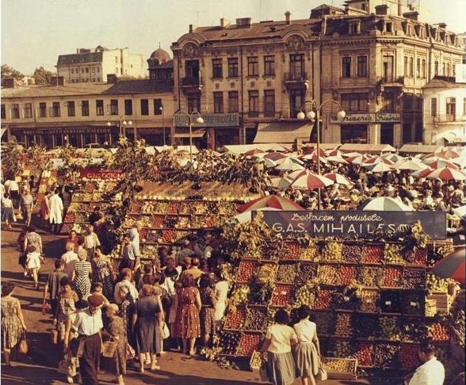
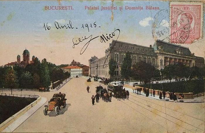
The demolished Bucharest in the 1980s, under which eight square kilometers in the historic center of Bucharest were leveled, including monasteries, churches, synagogues, a hospital and a noted Art Deco sports stadium. This also involved evicting 40,000 people with only a single day's notice and relocating them to new homes, in order to make way for the grandiose Civic Center and the immense "House of the People", now officially renamed as the "Palace of Parliament".
Wikipedia article: http://en.wikipedia.org/wiki/Ceauşima
Nearby cities:
Coordinates: 44°25'25"N 26°6'5"E
- Bucharest 17 km
- Botoşani Metropolitan Area 386 km
- Timişoara metropolitan area 441 km
- Oleksandriia 705 km
- Athens Metropolitan Area 730 km
- Greater Damascus 1482 km
- Greater Copenhagen 1605 km
- Greater Cairo 1631 km
- Akure 4603 km
- Kolkata Metropolitan Area 6057 km
- Romanian Patriarchal Palace 0.3 km
- Dealul Mitropoliei / Mitropoliei Hill 0.3 km
- "Dinu Lipatti" Music College 0.4 km
- Union Square 0.4 km
- Colegiul National Mihai Eminescu 0.5 km
- Directia cercetari penale 0.5 km
- Antim Monastery 0.6 km
- Liberty Square 0.8 km
- Carol Park 1.2 km
- Ilfov County 8.8 km
Comments