Fisherman's Wharf
USA /
California /
Monterey /
Fishermans Wharf, 1
World
/ USA
/ California
/ Monterey
World / United States / California
seaport, wharf
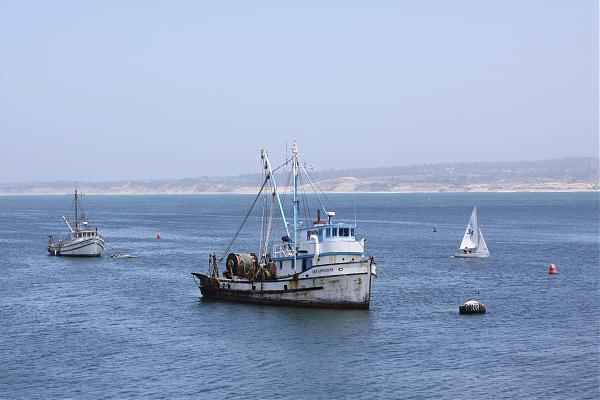
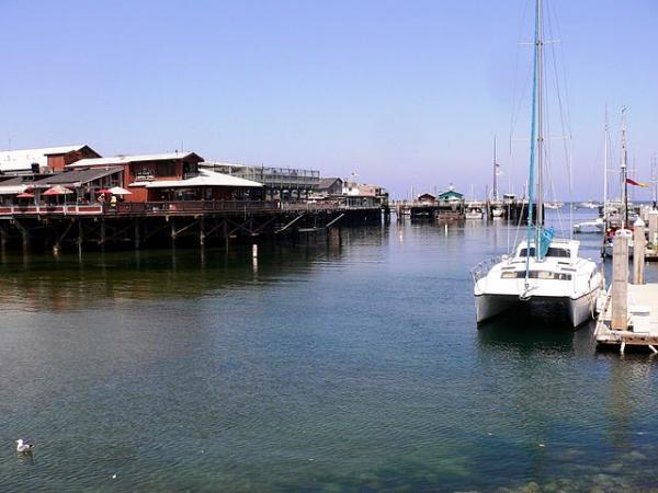
Wikipedia article: http://en.wikipedia.org/wiki/Fisherman's_Wharf,_Monterey,_California
Nearby cities:
Coordinates: 36°36'16"N 121°53'33"W
- Los Angeles-Long Beach Port Complex 454 km
- Port of Tacoma 1190 km
- Quarter-Master Harbor 1203 km
- Manzanillo 2587 km
- Port of Brownsville 2600 km
- Port of Altamira 2786 km
- Bahias de Huatulco 3433 km
- Salina Cruz 3472 km
- Ciudad del Carmen 3546 km
- Pearl Harbor 3871 km
- Presidio of Monterey and Defence Language Institute Foreign Language Center (DLI-FLC) 1.6 km
- Del Monte Forest, California 5.1 km
- Bayonet & Black Horse Golf Course 7 km
- Fort Ord Dunes State Park 7.1 km
- Fort Ord Housing 8 km
- Marina State Beach 11 km
- California State University, Monterey Bay 12 km
- Fort Ord (site) 12 km
- Monterey Bay Canyon 17 km
- Monterey Bay 20 km
Presidio of Monterey and Defence Language Institute Foreign Language Center (DLI-FLC)
Del Monte Forest, California
Bayonet & Black Horse Golf Course
Fort Ord Dunes State Park
Fort Ord Housing
Marina State Beach
California State University, Monterey Bay
Fort Ord (site)
Monterey Bay Canyon
Monterey Bay