Imeros
| village
Greece /
Rodypi /
Xilagani /
World
/ Greece
/ Rodypi
/ Xilagani
, 6 km from center (Ξυλαγανή)
World / Greece / Anatoliki Makedonia kai Thraki
village
Add category
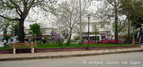
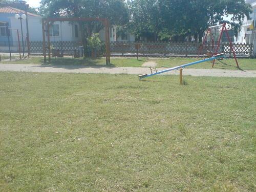
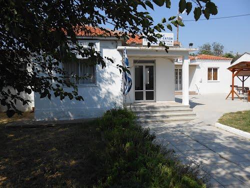
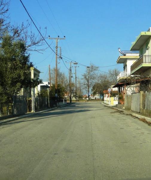
Imeros is a small village in the northeastern part of Greece (Thrace). Imeros is located 1.5 km from the coastline of Thracian Sea. It belongs to the municipality of Maroneia-Sapes since 2011. Its population is 276 (2011 census). During the summer, it attracts many tourists visiting its beautiful crystal clear beach, which is 1.5 km from the center square of Imeros. The people of Imeros are refugees from Thrace and Asia Minor who originally settled in the area in 1922. The population exchanges between Greece and Turkey. One of the main features of the village is an organization named the Environmental Information/Educational Centre. The main jobs in Imeros are farming, fishing, and trading. The surrounding area of Imeros is characterized by several wetlands varying in size. The wetlands have an important ecological role by providing home and food to waterbirds. Many bicycle tourists visit and take photos and footage each year of the wetlands of Imeros.
Wikipedia article: http://en.wikipedia.org/wiki/Imeros
Nearby cities:
Coordinates: 40°57'25"N 25°22'11"E
- Imeros Beach 2.6 km
- Xilagani 4.3 km
- Çavuşköy 73 km
- Abdurrahim 82 km
- SÜTÇÜLER 84 km
- Aliço Pehlivan 90 km
- Şabanmera Köyü 92 km
- Orhaniye 93 km
- Gökçetepe Sahili 109 km
- Gokcetepe 110 km
- Orgomenou forest 14 km
- Ancient Maronia 15 km
- Ismara (Ismaros) 17 km
- Peripheral unit of Rodopi 18 km
- Κomotini Municipality 18 km
- Maroneia-Sapes Municipality 22 km
- National Park of East Macedonia and Thrace 26 km
- Alexandroupolis Municipality 52 km
- Thracian Sea 54 km
- Peripheral unit of Evros 58 km