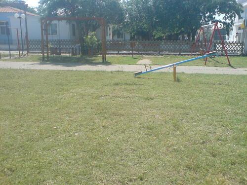
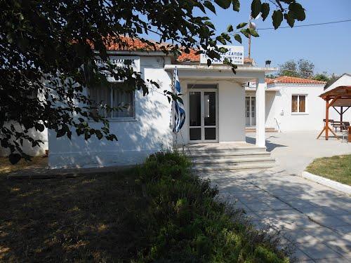
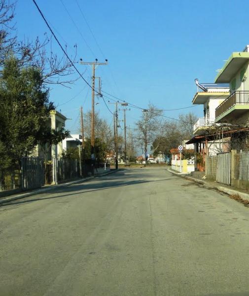
Imeros
| village
Greece /
Rodypi /
Xilagani /
World
/ Greece
/ Rodypi
/ Xilagani
, 6 km du centre (centre-ville le plus proche) (Ξυλαγανή)
Monde / Grèce /
village
Ajoutez un catégorie
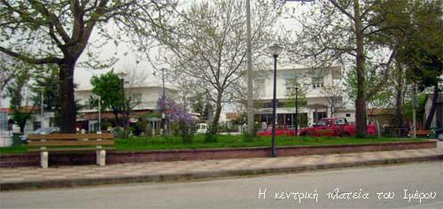
Village de la municipalite de Maronia - Sapes
Villes proches:
Coordonnées : 40°57'25"N 25°22'11"E
- Lac Ismarida 5.3 km
- forêt Orgomenou 14 km
- Grottes de Strymni 15 km
- Maroneia antique 15 km
- Réservoir d'eau 18 km
- municipalité de Komotini 18 km
- Aetokoryfi 21 km
- Rocher de Petroto 21 km
- Municipalité de Alexandroulis 52 km
- Mer de Thrace 54 km