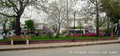
Imeros
| villaggio
Greece /
Rodypi /
Xilagani /
World
/ Greece
/ Rodypi
/ Xilagani
, 6 Chilometri dal centro (Ξυλαγανή)
Mondo / Grecia /
villaggio
Aggiungi categoria
Villaggio del Comune di Maronia - Sapes
Nearby cities:
Coordinate: 40°57'25"N 25°22'11"E
- Lago Ismarida 5.3 km
- Ochiro 11 km
- foresta Orgomenou 14 km
- Grotte di Strymni 15 km
- Antica Maroneia 15 km
- Serbatoio d'acqua 18 km
- Il Comune di Komotini 18 km
- Roccia di Petroto 21 km
- Aetokorifi 21 km
- Municipalite de Alexandroulis 52 km