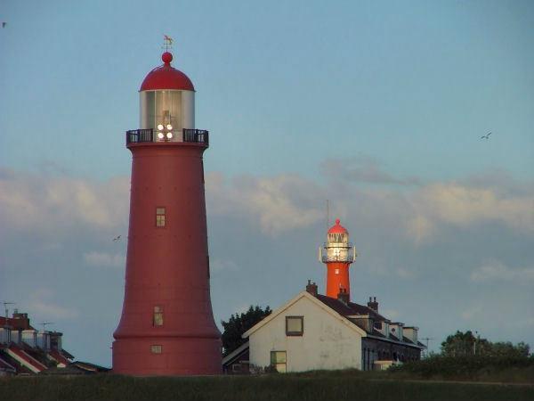
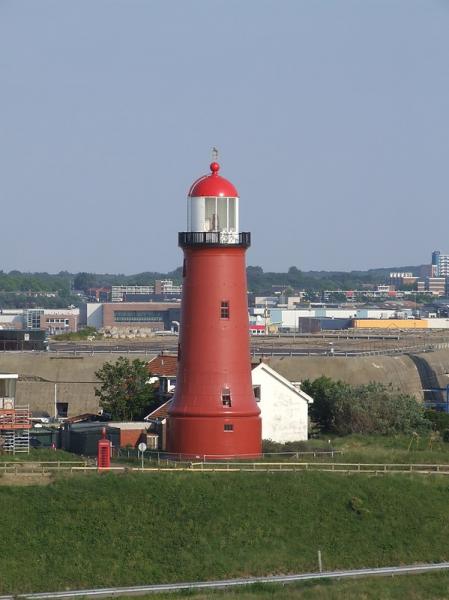
Lage Licht (Range Front) Lighthouse
Netherlands /
Noord-Holland /
Velsen /
Seinpostweg
World
/ Netherlands
/ Noord-Holland
/ Velsen
World / Netherlands / Zuid-Holland
lighthouse
Add category


Nearby cities:
Coordinates: 52°27'42"N 4°34'28"E
- Scheveningen pier 43 km
- Lightvessel Sunk 204 km
- Trinity House Lightvessel 17 (LV 17) 212 km
- Gunfleet Lighthouse 234 km
- North Foreland Lighthouse 247 km
- The Drop Redoubt 270 km
- Royal Sovereign Lighthouse 345 km
- The Belle Tout Lighthouse 357 km
- Trinity House Lightvessel 5 (LV 5) 390 km
- Sémaphore de Fécamp 420 km
- IJmondhaven 0.8 km
- Locks 2 km
- Tata Steel Europe IJmuiden 3.2 km
- Velsen (municipality) 3.4 km
- Heerenduinen 3.6 km
- Beverwijk (municipality) 4.6 km
- Velserbroek 6.5 km
- Bloemendaal (municipality) 10 km
- North Sea Canal 12 km
- North Holland 35 km