Anacortes Airport (Anacortes, Washington)
USA /
Washington /
Anacortes /
Anacortes, Washington
World
/ USA
/ Washington
/ Anacortes
World / United States / Washington
airport
Add category

www.globalair.com/airport/airport.aspx?aptcode=74S
www.airnav.com/airport/74S
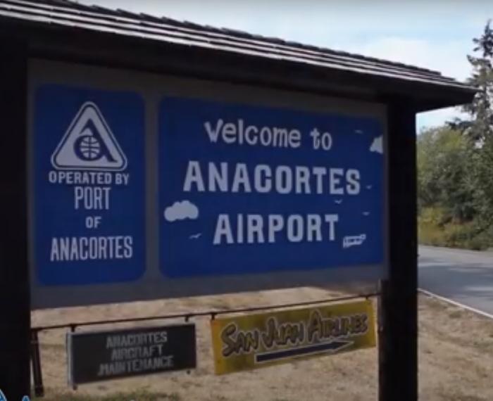
Anacortes Airport (FAA LID: 74S) is a public airport located two miles (3 km) west of the city of Anacortes, in Skagit County, Washington, USA.
www.airnav.com/airport/74S
Anacortes Airport (FAA LID: 74S) is a public airport located two miles (3 km) west of the city of Anacortes, in Skagit County, Washington, USA.
Wikipedia article: http://en.wikipedia.org/wiki/Anacortes_Airport
Nearby cities:
Coordinates: 48°29'51"N 122°39'45"W
- Naval Air Station Whidbey Island (NASWI) Ault Field 15 km
- Paine Field - Snohomish County Airport (PAE/KPAE) 69 km
- Boeing Field/King County international (BFI/KBFI) 109 km
- Seattle-Tacoma International Airport (SEA/KSEA) 117 km
- JBLM McChord Field (TCM/KTCM) 150 km
- Ephrata Municipal Airport (EPH/KEPH) 268 km
- Grant County International Airport (MWH/KMWH) 285 km
- Portland International Airport (PDX/KPDX) 323 km
- Tri-Cities Airport (PSC/KPSC) 363 km
- Walla Walla Regional Airport (ALW/KALW) 423 km
- Fidalgo Island 7.3 km
- Guemes Island 7.6 km
- Cypress Island 9 km
- Padilla Bay 11 km
- Swinomish Indian Reservation 13 km
- Samish Bay 17 km
- Lummi Island 22 km
- Lookout Mountain Preserve 31 km
- Lake Whatcom 34 km
- Skagit Valley 39 km