Trakiya District (Plovdiv)
Bulgaria /
Plovdiv /
Plovdiv
World
/ Bulgaria
/ Plovdiv
/ Plovdiv
, 4 km from center (Пловдив)
World / Bulgaria / Plovdiv
invisible, town district

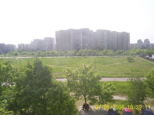

Trakiya (transliterated from Bulgarian: Тракия, and from which the English-language name Thrace is translated) is the largest neighbourhood of Plovdiv as well as one of the six districts of the city located in its south-eastern parts. It has 61,920 inhabitants. Its construction began in 1973, in 1976 it was inaugurated as a neighbourhoods and in 1983 it became a district. Trakiya is one of the largest area with blocks of flats in Bulgaria.
Wikipedia article: http://en.wikipedia.org/wiki/Trakiya_district
Nearby cities:
Coordinates: 42°8'4"N 24°47'1"E
- The Land of Katunitsa village 6.4 km
- The Land of Cheshnegirovo village 9 km
- The land of Belozem 20 km
- The land of Sekirovo quarter 23 km
- The Land of General Nikolaevo 26 km
- The Land of Mirovo village 27 km
- The Land Of Granit Village 29 km
- The Land of Debar Quarter 30 km
- The Land of Parvomay Quarter 31 km
- The Land of Gradina village 31 km
- Lauta Park 0.7 km
- Lokomotiv Stadium 1 km
- Bulgarian Airforces Headquarter 1 km
- Agricultural University 1.4 km
- Казарми 1.4 km
- Gen. Radko Dimitriev St, 32 1.6 km
- Gladno Pole 1.6 km
- Plovdiv Municipality 3.7 km
- Maritsa Municipality 10 km
- Rodopi Municipality 13 km