George Rogers Clark Park Boat Ramp (Clarksville, Indiana)
| boat ramp / launch
USA /
Indiana /
Clarksville /
Clarksville, Indiana
World
/ USA
/ Indiana
/ Clarksville
World / United States / Kentucky
boat ramp / launch
Add category
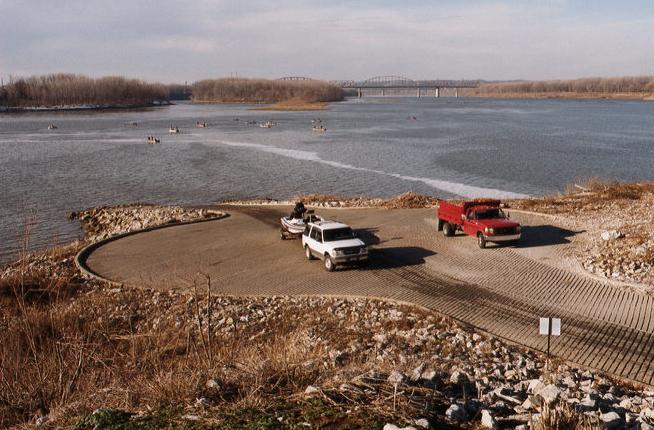


This area was also known as "Point of Rocks", "Stony Point" or "Clark's Point".
Nearby cities:
Coordinates: 38°17'14"N 85°46'39"W
- Iberia Recreation Area 108 km
- Lafayette Trace Park 207 km
- Robert G. Delaney Lake Conservation Area 351 km
- Carroll D. Hudson Recreation Area 419 km
- Ingalls Harbor Park / Former Site of Ingalls Iron Works Shipyard 422 km
- Little Hall Day Park 471 km
- Mary Alice Park 479 km
- Aqualand Marina 482 km
- Portman Shoals Marina 496 km
- Pleasant Creek Wildlife Management Area and Campground 511 km
- Ohio River Greenway 0.7 km
- Falls of the Ohio National Wildlife Conservation Area 1.3 km
- Shippingport Island 1.6 km
- Louisville and Portland Canal 2 km
- Portland neighborhood 2.5 km
- Old Jeffersonville Historic District 3.8 km
- Atkins Quarry 3.9 km
- West End 4.3 km
- Floyd County, Indiana 10 km
- Clark County, Indiana 18 km