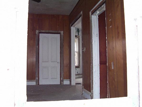
Abandoned farm
USA /
Illinois /
Sugar Grove /
World
/ USA
/ Illinois
/ Sugar Grove
World / United States / Illinois
interesting place
Add category


Nearby cities:
Coordinates: 41°45'57"N 88°26'48"W
- Former Joliet Army Ammunition Plant Housing Complex 55 km
- I.U.O.E. ASIP Local 150 (Training Center) 55 km
- South fork of the south branch of the Chicago River 65 km
- Former Site of the Union Stock Yards 65 km
- Lake Greenfield 68 km
- Homewood Izaak Walton Park 69 km
- Marquette Park 99 km
- Meeting point of Indiana, Illinois, and Michigan state boundaries 102 km
- Sun Aura Resort 116 km
- Fair Oaks Farms 121 km
- Windsor Pointe East 1.6 km
- Settlers Ridge 2.2 km
- Aurora Municipal Airport (AUZ/KARR) 2.4 km
- Rich Harvest Farms 4.3 km
- Bristol Bay 6.4 km
- Big Rock Forest Preserve 6.4 km
- Menards Distribution Center 10 km
- Silver Springs State Fish and Wildlife Area 17 km
- Kane County, Illinois 19 km
- Kendall County, Illinois 20 km