Red Mountain Pass
USA /
Colorado /
Silverton /
World
/ USA
/ Colorado
/ Silverton
World / United States / Colorado
mountain pass
Add category
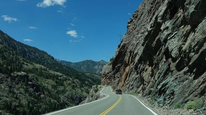
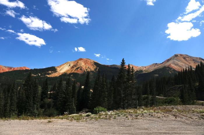
Red Mountain Pass is a mountain pass in the San Juan Mountains of southwestern Colorado. At 11,018 feet, the pass is one of the higher paved passes in Colorado. It is traversed by U.S. Highway 550, which from Ouray to Red Mountain Pass is the original section of the Million Dollar Highway. It is named for nearby Red Mountain, which is three peaks characterized by the reddish rock that forms their slopes. Black Bear Road, one of the most dangerous mountain roads in the United States, starts from Red Mountain Pass and ends in Telluride.
Wikipedia article: http://en.wikipedia.org/wiki/Red_Mountain_Pass
Nearby cities:
Coordinates: 37°53'48"N 107°42'45"W
- The Badlands 955 km
- Cajon Pass 963 km
- Pine Canyon 1488 km
- Rogers Pass 1688 km
- Paso de Cortes 2266 km
- Caribou pass 3198 km
- Turnagain Pass 3837 km
- Chulitna Pass 3950 km
- Portage Pass 4218 km
- Kaupo Gap 5012 km
- Telluride Ski and Golf Resort 12 km
- Cunningham Gulch 16 km
- Telluride Regional Airport (TEX/KTEX) 18 km
- Sneffels Range 19 km
- Wilson Massif 26 km
- Double RL Ranch 28 km
- Loghill Village, Colorado 34 km
- Ridgway Reservoir 35 km
- San Juan Mountains 44 km
- Gurley Resrvoir 49 km