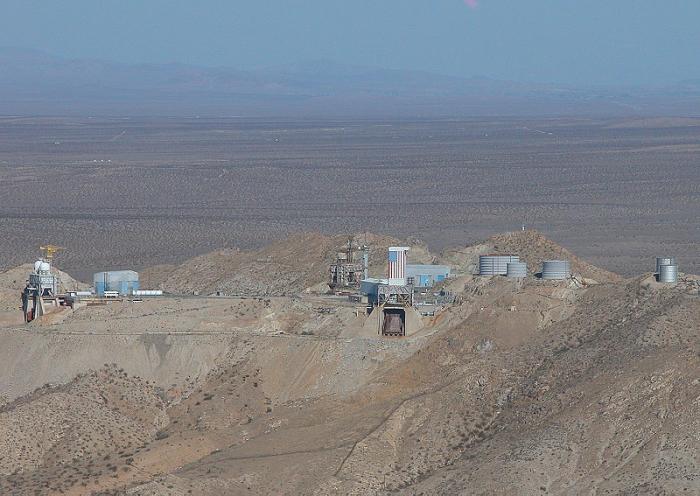
Rocket Sled Test Track (Abandoned)
USA /
California /
Lake Los Angeles /
World
/ USA
/ California
/ Lake Los Angeles
World / United States / California
runway, abandoned / shut down
Nearby cities:
Coordinates: 34°48'51"N 117°54'27"W
- Former Ammo Dump to MCAS El Toro 127 km
- The Fallbrook Branch (site) 177 km
- Failed Fish Farming 218 km
- Clark Lake Radio Observatory 221 km
- Former alignment of US 93 301 km
- Lake Havasu Auxiliary Army Airfield (site) 326 km
- Hackberry Army Auxiliary Airfield 3 379 km
- Wellton Aux Army Airfield 1 426 km
- Colfred Auxiliary Army Airfield 2 440 km
- Stoval Auxiliary Army Airfield 3 457 km
- Edwards Air Force Base 11 km
- Rogers Dry Lake 12 km
- Rosamond Dry Lake 15 km
- Saddleback Butte State Park 18 km
- Edwards AFB Precision Impact Range Area (PIRA) 22 km
- Lake Los Angeles, California 23 km
- Irrigated Fields 25 km
- Palmdale Regional Airport/United States Air Force Plant 42 27 km
- San Andreas Fault (Zone) 58 km
- Los Angeles County, California 71 km
Comments