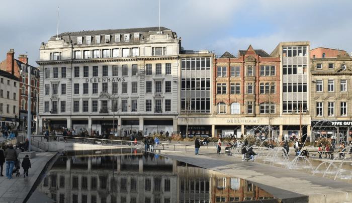
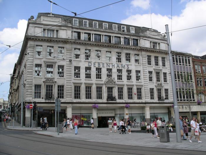
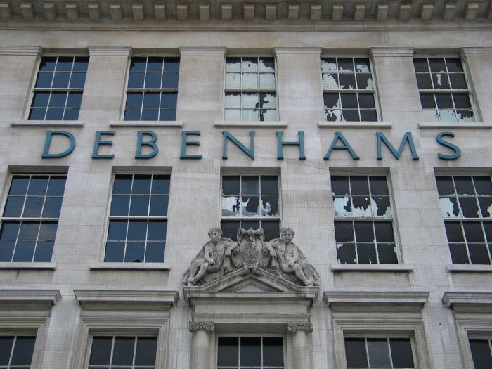
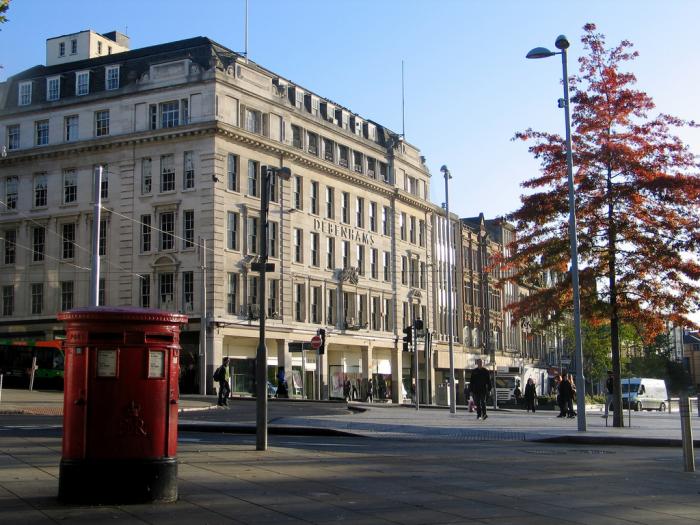
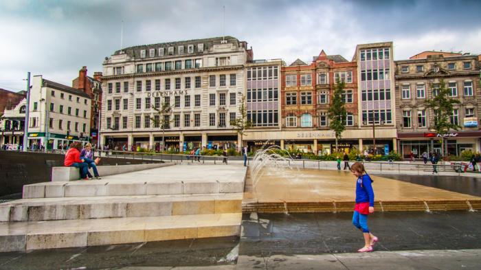
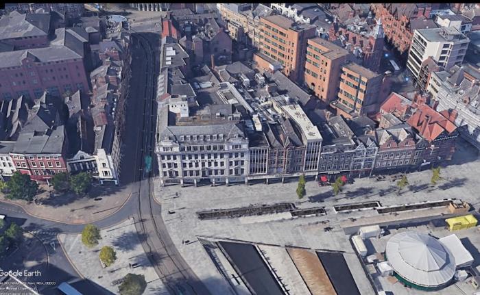
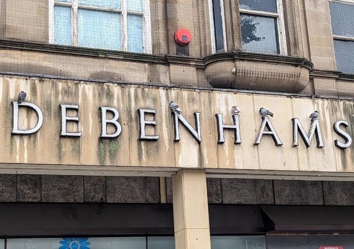
Debenhams (closed) (Nottingham)
United Kingdom /
England /
West Bridgeford /
Nottingham
World
/ United Kingdom
/ England
/ West Bridgeford
World / United Kingdom / England
closed, historical layer / disappeared object
Nearby cities:
Coordinates: 52°57'14"N 1°9'3"W
- High Marnham Power Station (disused) 39 km
- Purley Chase Golf Course 53 km
- Kellingley Colliery (closed) 84 km
- Moel-y-Faen Quarry ( disused) 139 km
- Alcan Lynemouth Aluminium Smelter (closed) 252 km
- former Chapelcross Nuclear Power Station 268 km
- Magcobar Mine 478 km
- Tramore Valley Park Site (formerly Kinsale Road Landfill) 511 km
- Moneypoint Power Station 559 km
- Circuito da Boavista (temporary street circuit) 1428 km
- Old Market Square 0.1 km
- Nottingham City Centre 0.3 km
- The Broadmarsh Centre 0.4 km
- Nottingham Castle 0.5 km
- Victoria Centre 0.5 km
- Hockley 0.5 km
- Broadmarsh Bus Station & Car Park 0.6 km
- The Lace Market 0.6 km
- The Park Estate 0.7 km
- Trent House (Capital One) 0.8 km