Tychero
Greece /
Evros /
Tikheryn /
World
/ Greece
/ Evros
/ Tikheryn
, 1 km from center (Τυχερόν)
World / Turkey / Edirne
village
Add category


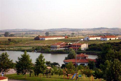
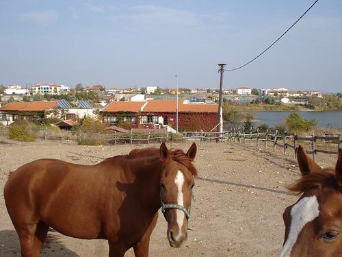
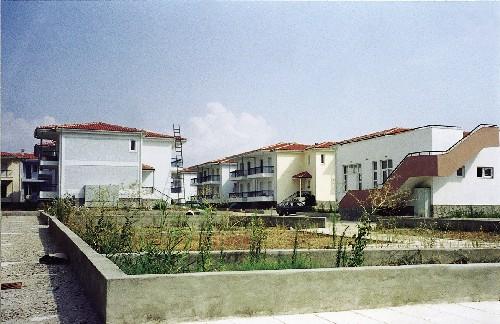
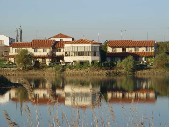
Tycheró (Greek: Τυχερό) is a town and a former municipality in the Evros regional unit, East Macedonia and Thrace, Greece. Since the 2011 local government reform it is part of the municipality Soufli, of which it is a municipal unit. The municipal unit has an area of 220.411 km2. Population 4,010 (2011). Tychero is situated near the river Evros, which forms the border with Turkey here. The Greek National Road 51/E85 (Alexandroupoli - Orestiada - Ormenio) passes west of the town. Tychero is located south of Soufli, south-southwest of Orestiada, northwest of İpsala (Turkey), north of Feres and northeast of Alexandroupoli.
The municipal unit Tychero is subdivided into the following communities (constituent villages in brackets): Fylakto, Lefkimmi ,Lyra, Provatonas (Provatonas, Tavri, Thymaria), Tychero.
www.tichero.gr
The municipal unit Tychero is subdivided into the following communities (constituent villages in brackets): Fylakto, Lefkimmi ,Lyra, Provatonas (Provatonas, Tavri, Thymaria), Tychero.
www.tichero.gr
Wikipedia article: http://en.wikipedia.org/wiki/Tychero
Nearby cities:
Coordinates: 41°1'35"N 26°17'29"E
- Adasarhanlı 8 km
- YENİCEGÖRECE KÖYÜ 18 km
- Türkobası 27 km
- Koufovouno 39 km
- Kyani 40 km
- Sofiko 50 km
- Doxa 51 km
- Ampelakia 52 km
- Chionades 52 km
- Lepti 55 km
- tichero festival www.tichero-festival.gr 0.5 km
- Tychero lake 0.7 km
- A21 Exit Tychero (under construction) 2 km
- Tichero lowland 3.2 km
- Military Base 4.8 km
- Petrified Forest of Lefkimi 6.6 km
- National Park of Dadia-Lefkimi-Soufli 17 km
- Soufli Municipality 20 km
- Alexandroupolis Municipality 28 km
- Edirne Province 35 km