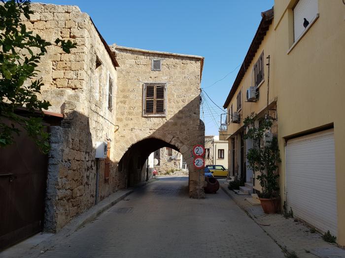
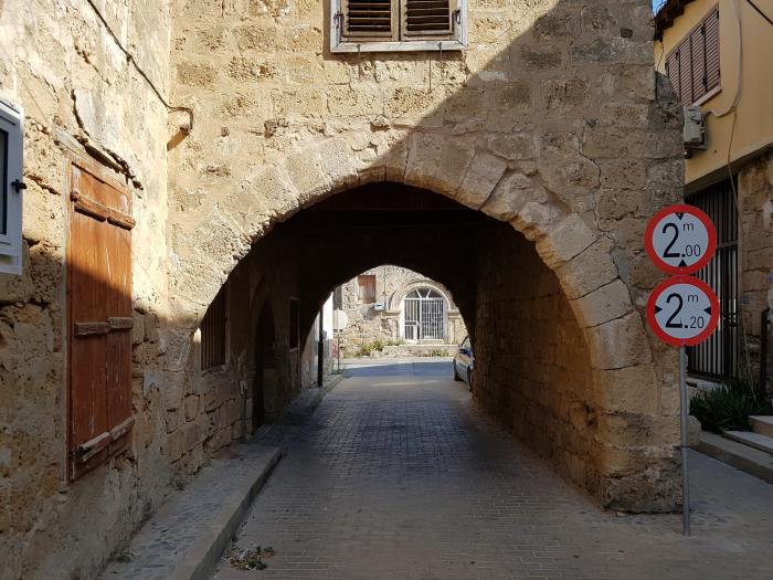
Building with an archway (Gazimağusa)
Cyprus /
Turkish controlled area /
Gazimagusa /
Gazimağusa
World
/ Cyprus
/ Turkish controlled area
/ Gazimagusa
building, arch
Nearby cities:
Coordinates: 35°7'26"N 33°56'33"E
- Haci Ali Apartments 3 1.7 km
- Psaras orange gardens 2.2 km
- H 3 km
- EMU Dormitory 2 4.3 km
- Great Kings apartments, Kapparis 9 km
- HADJIGEORGIS ALEVROMYLO (vik) 11 km
- Melpo Antia Hotel Apartments 3* 16 km
- Noyanlar Construction Apartments 18 km
- Kastros Strongylos 23 km
- Big Old Bazaar 23 km
- Famagusta Castle & Inner Town 0.2 km
- Port Of Famagusta 0.6 km
- Famagusta Free Port Zone 1.1 km
- Famagusta Small-Scale Industrial Area 1.6 km
- Lands Granted to Children of Victims of '63-74 2.1 km
- (Closed) Maraş 2.9 km
- KAROALOS CAMP 3 km
- Turkish Cypriot Armed Forces - 4th Infantry Troops Regiment, Gulseren Barracks 3.4 km
- Famagusta Bay 5.4 km
- Famagusta District 13 km