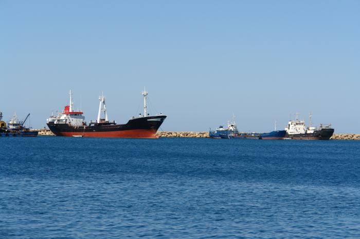
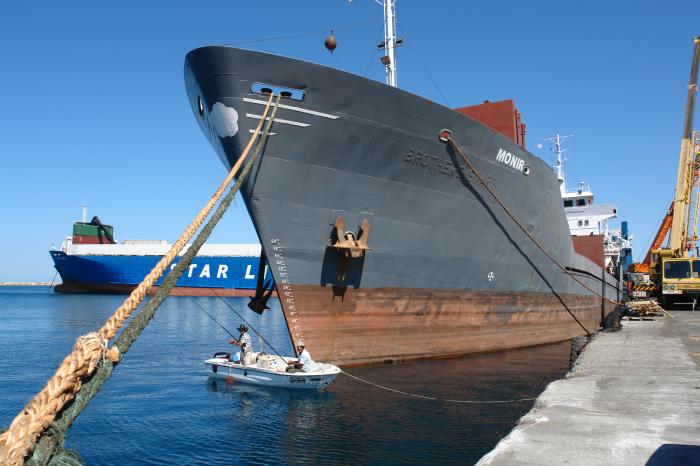
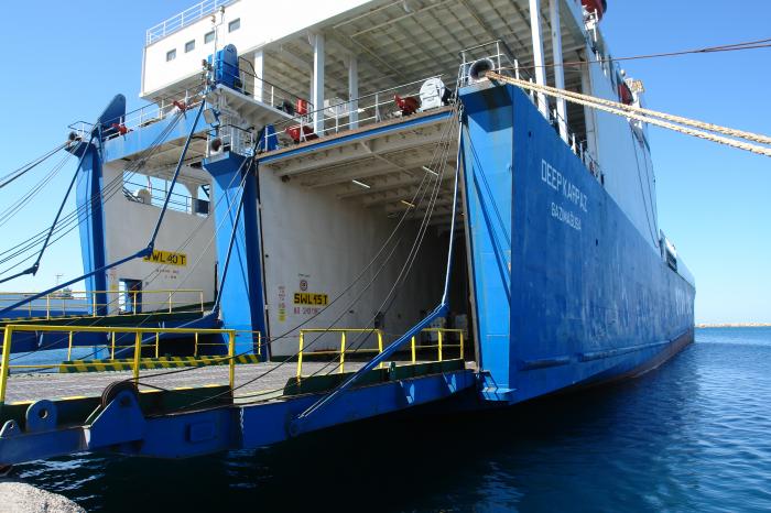
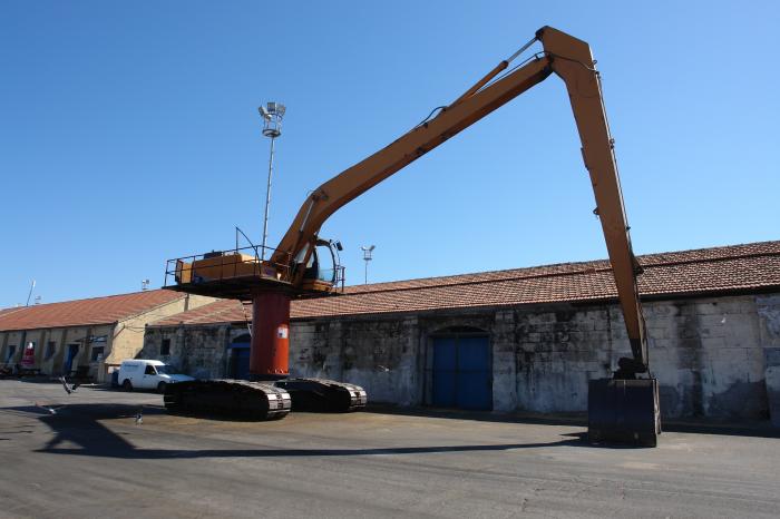
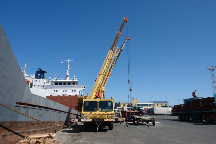
Port Of Famagusta
Cyprus /
Turkish controlled area /
Gazimagusa /
World
/ Cyprus
/ Turkish controlled area
/ Gazimagusa
World / Cyprus
seaport, draw only border

Nearby cities:
Coordinates: 35°7'45"N 33°56'37"E
- EMU 5.1 km
- Gazimağusa 6.7 km
- Famagusta Greater Industrial Area 6.9 km
- United Nations Green Line (continuation) 7 km
- Tuzla 7.8 km
- Salamis 7.8 km
- Paralimni 8.4 km
- Sotira 10 km
- UK Eastern Sovereign Base Area - Dhekelia 25 km
- Famagusta District 72 km
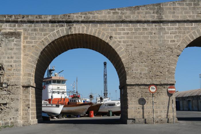
- Famagusta City Walls 0.5 km
- Famagusta Castle & Inner Town 0.5 km
- Namik Kemal Lisesi 1.3 km
- Famagusta Small-Scale Industrial Area 1.8 km
- Area One 1.9 km
- Lands Granted to Children of Victims of '63-74 2.3 km
- KAROALOS CAMP 2.6 km
- Turkish Cypriot Armed Forces - 4th Infantry Troops Regiment, Gulseren Barracks 3.1 km
- (Closed) Maraş 3.3 km
- Famagusta Bay 5.1 km