Green area (Staraya Stanitsa)
Russia /
Rostov /
Staraya Stanitsa
World
/ Russia
/ Rostov
/ Staraya Stanitsa
, 1 km from center (Старая Станица)
green area, do not draw title

Nearby cities:
Coordinates: 48°20'43"N 40°16'13"E
- Riverside park 1.2 km
- Windbreak 1.8 km
- The Loga European-style landscape park 1.8 km
- Windbreak 4.1 km
- Nadezhda ('Hope') community gardens 5.9 km
- New city cemetery 7.7 km
- Bely Les ('White Forest') 10 km
- Borodinsky forest 20 km
- Green area 22 km
- Padina forest 22 km
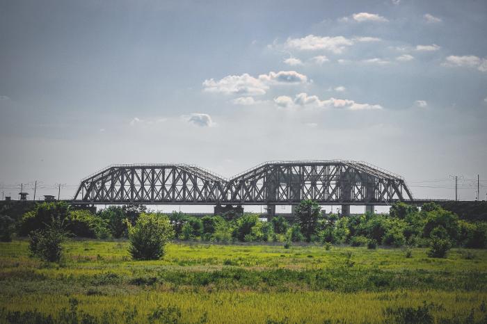
- Left-bank safeguard zone of the bridges across the Seversky Donets river 0.6 km
- Zheleznodorozhnaya ulitsa, 11—1 0.7 km
- Vertical-lift road bridge across the Seversky Donets river 0.8 km
- Territory of Staraya Stanitsa secondary school of Kamensky district 0.8 km
- Bay 0.8 km
- 1034 km halting point 0.9 km
- Territory of Kamensk District Station for Animal Disease Control 1 km
- LukOil Pterol Filling Station No. 348 1 km
- Training Facility of North-Eastern Electric Networks branch — Rostovenergo Production Association 1 km
- Zheleznodorozhnaya ulitsa, 3 1.2 km
Left-bank safeguard zone of the bridges across the Seversky Donets river
Zheleznodorozhnaya ulitsa, 11—1
Vertical-lift road bridge across the Seversky Donets river
Territory of Staraya Stanitsa secondary school of Kamensky district
Bay
1034 km halting point
Territory of Kamensk District Station for Animal Disease Control
LukOil Pterol Filling Station No. 348
Training Facility of North-Eastern Electric Networks branch — Rostovenergo Production Association
Zheleznodorozhnaya ulitsa, 3