Sidhamula Bridge
India /
Orissa /
Kantilo /
World
/ India
/ Orissa
/ Kantilo
World / India / Orissa / Cuttack
invisible, road bridge
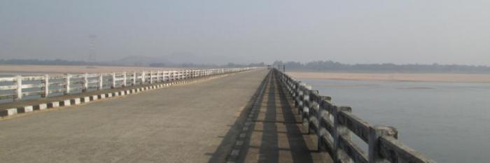
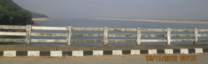
The bridge connects Nayagarh District to Cuttack District.
Nearby cities:
Coordinates: 20°24'14"N 85°7'7"E
- ADIRE Operation Villages 98 km
- Marine Drive 114 km
- Rasulpur Block 120 km
- not absolutely not_test 190 km
- Estuary of Buribalam 234 km
- Kasaphal River Confluence 241 km
- Confluence Of Subarnarekha River 269 km
- The mouth Of River Hoogly ( deemed as Ganga of West Bengal) 331 km
- Odisha 422 km
- Crash Site 450 km
- Sidhamula Gaon Barricade 0.9 km
- Sidhamula Daka Bangala 1.2 km
- Mahukana 1.4 km
- GJBM Sidhamula (www.sidhamula.com) 1.5 km
- Sidhamula picnic Spot 1.5 km
- High School Play Ground,sidhamula 1.6 km
- Sara,Sidhamula 2.4 km
- Duburi Hill 3.3 km
- Biswanatha Pond 4.2 km
- UPARA SAHI,GHORADIA 4.7 km