Bonaire (Caribbean Netherlands)
| island, municipality
Netherlands Antilles /
Curacao /
Hato /
World
/ Netherlands Antilles
/ Curacao
/ Hato
island, municipality


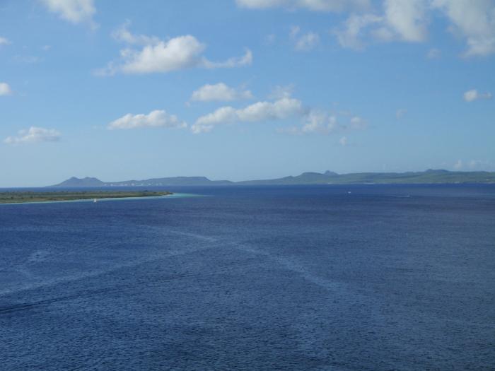

Bonaire is an island in the Leeward Antilles in the Caribbean Sea located less than one hundred miles northwest of Venezuela. Part of the ABC Islands together with Aruba and Curaçao, Bonaire was part of the Netherlands Antilles until the country's dissolution in 2010. Now part of the "BES Islands" along with Sint Eustatius and Saba, Bonaire is a special municipality (officially “public body”) within the country of the Netherlands.
Lying outside of the Hurricane Belt, Bonaire has an an arid climate that attracts visitors seeking warm, sunny weather year round. World-renowned for its SCUBA diving and snorkeling, Bonaire's leeward reef system and the uninhabited islet of Klein Bonaire are a national park under the protection of the Bonaire National Marine Park and managed by Stichting Nationale Parken Bonaire (STINAPA).
As of 1 January 2016, the island's population totaled approximately 19,408 permanent residents. The island's total land area is 288 square kilometres (111 sq mi); it is 38.6 kilometres (24.0 mi) long from north to south, and ranges from 4.8–8 kilometres (3.0–5.0 mi) wide from east to west.
www.bonairegov.nl/nl
www.tourismbonaire.com/
en.wikipedia.org/wiki/Caribbean_Netherlands
Wikipedia article: http://en.wikipedia.org/wiki/Bonaire
Nearby cities:
Coordinates: 12°10'6"N 68°18'29"W
- Curaçao 96 km
- Aruba 198 km
- Los Monjes Archipelago 290 km
- Gonave 927 km
- Tortuga 1013 km
- East Caicos 1126 km
- Middle Caicos 1145 km
- North Caicos 1161 km
- Providencialis 1162 km
- Great Inagua 1171 km
- Hato 2.5 km
- Antriol 4.5 km
- Flamingo International Airport (BON/TNCB) 6.3 km
- Crystalizer Basins 9 km
- Mangroves 10 km
- Crystalizer Basins 11 km
- Lac Bay 11 km
- Cargill Salt Bonaire N.V Solar Salt Works 12 km
- Condenser Basins 13 km
- Pekelmeer 14 km