Sauvie Island
USA /
Oregon /
Scappoose /
World
/ USA
/ Oregon
/ Scappoose
World / United States / Oregon
island
Add category

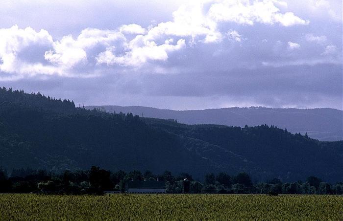
Sauvie Island, in the U.S. state of Oregon, is the largest island along the Columbia River, at 26,000 acres (105 km²). It lies approximately ten miles northwest of downtown Portland, between the Columbia River to the east, the Multnomah Channel to the west, and the Willamette River to the south. Much of the interior comprises water; Sturgeon Lake, in the north central part of the island, is the most prominent water feature. The land area is 84.82 km² (32.75 sq mi, or 20,959 acres). Most of the island is in Multnomah County, but the northern third belongs to Columbia County. The Sauvie Island Bridge (built 1950) provides access across the Multnomah Channel from U.S. Highway 30.
The island is predominantly farmland and wildlife refuge. There were 1,078 year-round residents at the 2000 census. There is an industrial zone and small grocery store in the southeast corner, near the bridge. Bicyclists flock to the island because its flat topography and lengthy low-volume roads make it ideal for cycling. Its nearest incorporated neighbors are the Portland-Vancouver metropolitan area to its south and southeast; St. Helens across the Multnomah Channel from the extreme northern tip of the island; and Scappoose, across the Multnomah Channel to the west.
Delicious berries and fantastic bicycling to be found here!
Wikipedia article: http://en.wikipedia.org/wiki/Sauvie_Island
Nearby cities:
Coordinates: 45°44'15"N 122°49'1"W
- Harstine Island 174 km
- Vashon Island 199 km
- Bainbridge Island 221 km
- Camano Island 283 km
- Fidalgo Island 310 km
- Lopez Island 316 km
- San Juan Island 322 km
- Orcas Island 332 km
- Lummi Island 335 km
- Saltspring Island 362 km
- Sauvies 2.8 km
- Fort William - Riverview 5.4 km
- Hazel Dell, Washington 10 km
- Dixie, Oregon 12 km
- Rockton-Plainview 13 km
- Clarion 16 km
- Shadybrook 16 km
- Forest Park 19 km
- Mountaindale 19 km
- Schefflin 26 km
Comments