Twin Peaks (San Francisco, California)
USA /
California /
San Francisco /
San Francisco, California
World
/ USA
/ California
/ San Francisco
World / United States / California
panoramic view, summit, draw only border
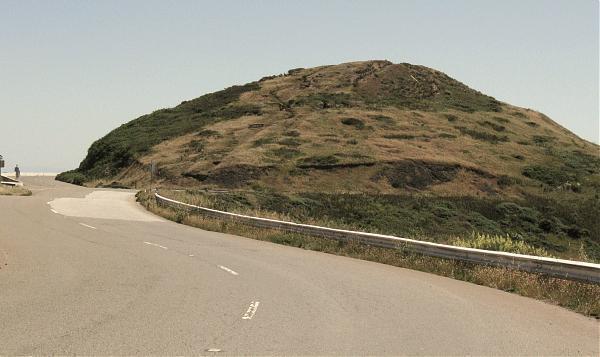
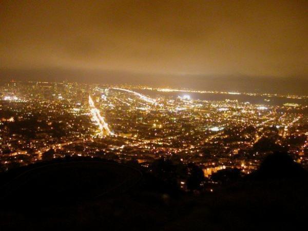
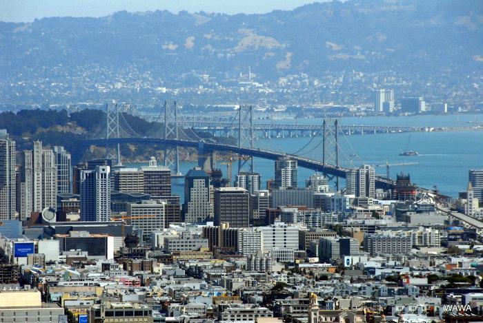
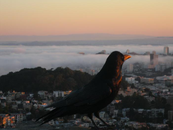
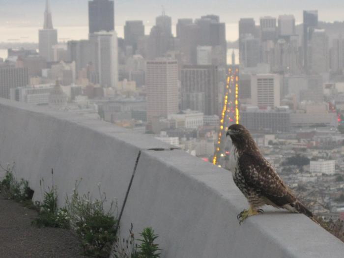
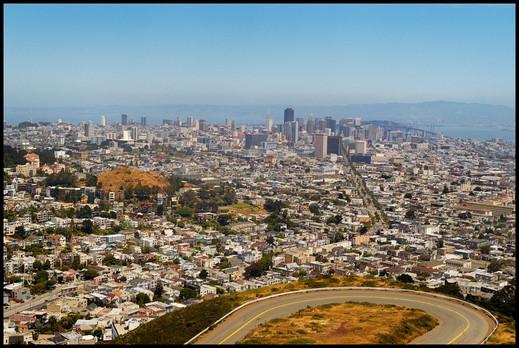
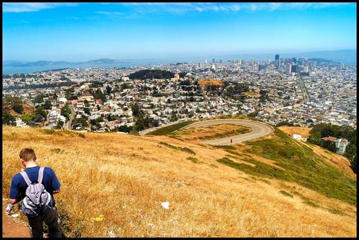
The observation deck next to the parking lot on top of Twin Peaks is considered by most to be the best high-vantage viewpoint in the city, looking straight down Market Street to the NE, with views of the Golden Gate to the NW, Alcatraz to the N, the Pacific Ocean to the W, and the East Bay to the E.
These two nearly identical hills are visible from all over the central Bay Area. Park also protects a
rare native grassland habitat.
Note: The surrounding neighborhood is also known as "Twin Peaks."
www.topoquest.com/map.php?lat=37.75248&lon=-122.44752&d...
These two nearly identical hills are visible from all over the central Bay Area. Park also protects a
rare native grassland habitat.
Note: The surrounding neighborhood is also known as "Twin Peaks."
www.topoquest.com/map.php?lat=37.75248&lon=-122.44752&d...
Wikipedia article: http://en.wikipedia.org/wiki/Twin_Peaks,_San_Francisco,_California
Nearby cities:
Coordinates: 37°45'18"N 122°27'7"W
- Windy Hill Open Space Park 46 km
- Westport Union-Landing State Beach 246 km
- Santa Clarita Woodlands Park+ Mentryville Historic Park 509 km
- Rice Canyon + East Canyon Parks 513 km
- Cheeseboro and Palo Commado Canyon 514 km
- O'Melveny Park 520 km
- Chalk Hills (range) 528 km
- Point Dume State Preserve 529 km
- Will Rogers Beach State Park 543 km
- Orocopia Mountains Wilderness Area (BLM) 745 km
- Parnassus Heights 0.8 km
- Inner Sunset 1.1 km
- Eureka Valley 1.5 km
- Haight-Ashbury 1.8 km
- Noe Valley 1.8 km
- Castro District 1.9 km
- Lower Haight 2.5 km
- Golden Gate Park 3.1 km
- Western Addition 3.2 km
- San Francisco Bay 16 km