The USSR stele-installation (Kamensk-Shakhtinsky)
Russia /
Rostov /
Kamensk-Shakhtinskiy /
Kamensk-Shakhtinsky
World
/ Russia
/ Rostov
/ Kamensk-Shakhtinskiy
, 5 km from center (Каменск-Шахтинский)
signboard
Add category
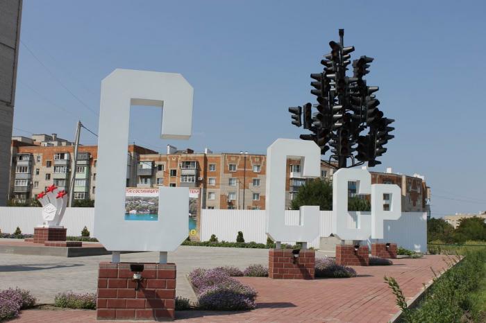
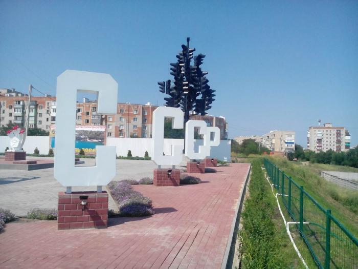
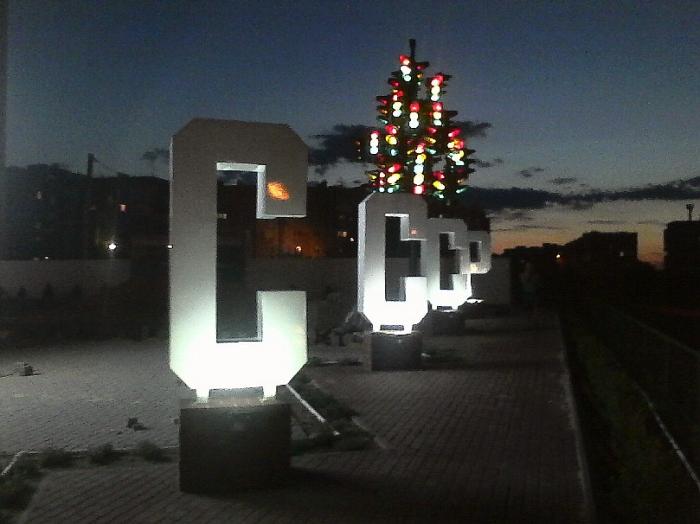
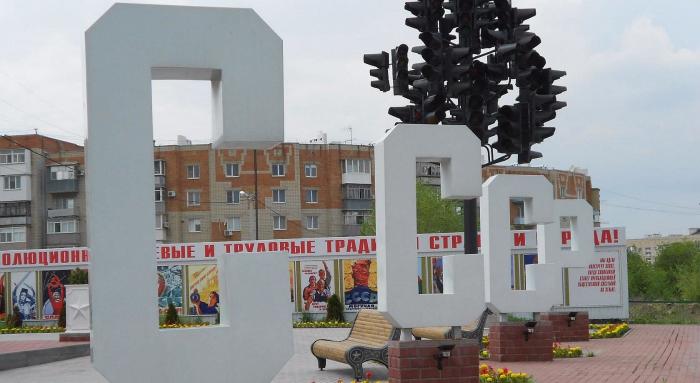
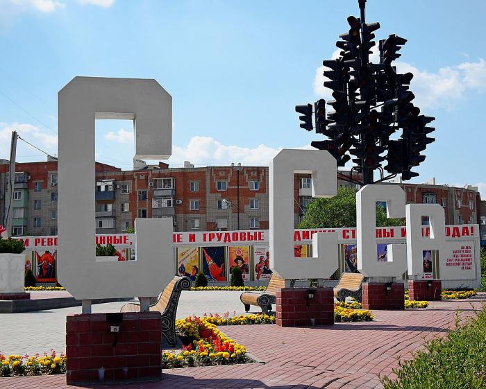

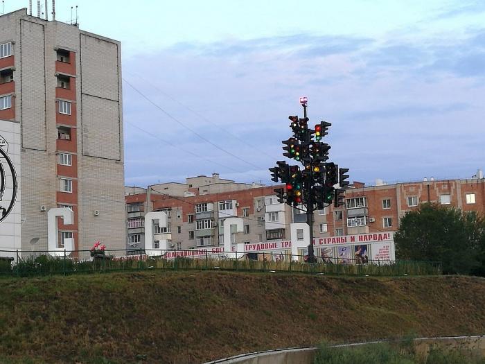
The USSR stele-installation is a signboard located in Kamensk-Shakhtinsky. The USSR stele-installation - Kamensk-Shakhtinsky on the map.
Nearby cities:
Coordinates: 48°17'59"N 40°17'59"E
- Photo Wall of Memory 0.2 km
- Kamensk-Shakhtinsky entry stele 0.6 km
- Memorial sign 2.9 km
- Kamensk-Shakhtinsky entry stele 3.1 km
- Memorial stela to Young Pioneers Heroes 3.5 km
- Entry stele Kamensk-Shakhtinsky 4.6 km
- Loga Park stele 5.4 km
- Krasnodon entry stele 41 km
- Entrance sign 159 km
- Monument of the Russian-Bulgarian friendship (Volgodonsk) 163 km
- Fenced area 0.1 km
- Full-scale model of the Guerrilla Village with guest houses 0.2 km
- Territory of Kindergarten No. 13 Rosinka (branch) 0.2 km
- Fenced area 0.2 km
- Patriot Weaponry Thematic Park & Museum Center 0.2 km
- Dalny ('Distant') car garage cooperative 0.3 km
- Kamensk-Shakhtinskaya junction 0.4 km
- Mikrorayon Shestidesyatiletiya Oktyabrya 0.7 km
- Malaya Goveynaya arroyo 0.8 km
- Kosonogovka 1 km
Fenced area
Full-scale model of the Guerrilla Village with guest houses
Territory of Kindergarten No. 13 Rosinka (branch)
Fenced area
Patriot Weaponry Thematic Park & Museum Center
Dalny ('Distant') car garage cooperative
Kamensk-Shakhtinskaya junction
Mikrorayon Shestidesyatiletiya Oktyabrya
Malaya Goveynaya arroyo
Kosonogovka