Anhée (Municipality)
Belgium /
Namur /
Onhaye /
World
/ Belgium
/ Namur
/ Onhaye
municipality, draw only border

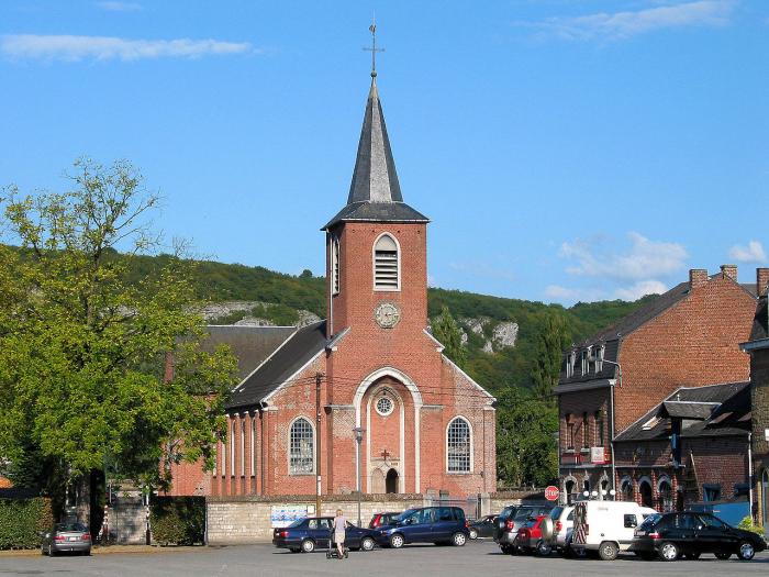
Anhée (French pronunciation: [ɑ̃.e] ; Walloon: Anhêye) is a Walloon municipality located in the Belgian province of Namur. It consists of the villages Anhée, Annevoie-Rouillon, Bioul, Denée, Haut-le-Wastia, Sosoye and Warnant.
On 1 January 2006 the municipality had 6,934 inhabitants. The total area is 65.67 km², giving a population density of 106 inhabitants per km².
On 1 January 2006 the municipality had 6,934 inhabitants. The total area is 65.67 km², giving a population density of 106 inhabitants per km².
Wikipedia article: http://en.wikipedia.org/wiki/Anhée
Nearby cities:
Coordinates: 50°19'15"N 4°48'41"E
- Beauraing (Municipality) 17 km
- Doische (Municipality) 20 km
- Philippeville (Municipality) 26 km
- Gedinne 30 km
- Viroinval (Municipality) 31 km
- Vresse-sur-Semois (municipality) 43 km
- Beaumont (municipality) 46 km
- Chimay (Municipality) 49 km
- Bouillon (municipality) 50 km
- Florenville (municipality) 65 km
- Castle-farm de Moulins 3.4 km
- Neffe castle 3.5 km
- Hun new castle or Castle of the rock of the crows 3.8 km
- Castle Mont d'Anhée 4.1 km
- Denée castle and its farm 4.2 km
- Castle at The Top or Arbre castle 4.5 km
- Marbres et Pierre d'Yvoir Dapsens S.P.R.L. 6 km
- Blocqmont castle 7.4 km
- Sagrex - HeidelbergCement Group 8.6 km
- Lustin 8.6 km