Bouillon (municipality) (Bouillon)
Belgium /
Luxemburg /
Bouillon
World
/ Belgium
/ Luxemburg
/ Bouillon
municipality, draw only border


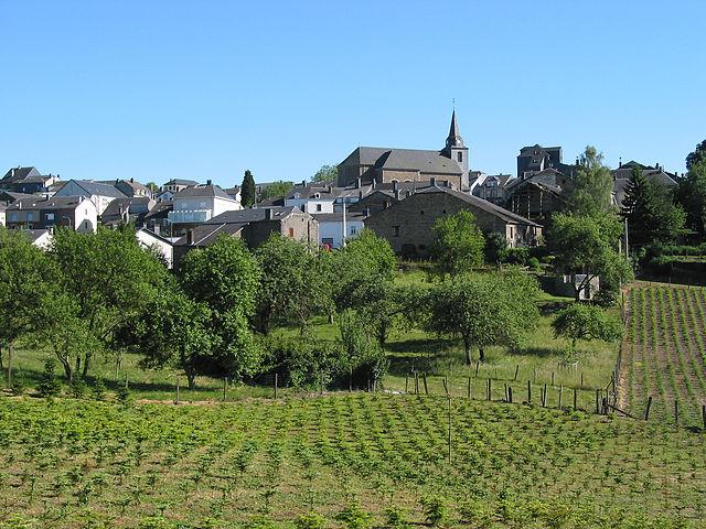

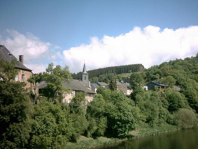

Bouillon [French pronunciation: [bu.jɔ̃]] (Walloon: Bouyon) is a municipality in Belgium. It lies in the country's Walloon Region and Luxembourg Province. The municipality, which covers 149.09 km², had 5,477 inhabitants, giving a population density of 36.7 inhabitants per km².
Bouillon has a few schools, a lycée (middle school) and a gymnasium (high school), banks and a town square. Bouillon Castle still sits above the town centre, and is a popular tourist attraction.
Bouillon has a few schools, a lycée (middle school) and a gymnasium (high school), banks and a town square. Bouillon Castle still sits above the town centre, and is a popular tourist attraction.
Wikipedia article: https://en.wikipedia.org/wiki/Bouillon
Nearby cities:
Coordinates: 49°47'47"N 5°4'45"E
- Bouillon 4.1 km
- Florenville (municipality) 5.2 km
- Fleigneux 10 km
- Floing 14 km
- Chassepierre 15 km
- Sedan 16 km
- Suippes Military Camp 72 km
- PEM (Polygone d'expérimentation de Moronvilliers) (CEA-DAM) 84 km
- Mourmelon Military Camp 88 km
- Somme-Yèvre 96 km
- Clairefontaine abbey 2.4 km
- Belgian Red Cross, Refugee center 12 km
- Matériaux Concassés Ardennais S.N.C. 12 km
- Priory des Conques 13 km
- Herbeumont arboretum 13 km
- Quarry des Rochettes 13 km
- Carrière Remy Emond S.A. 15 km
- Guderian's Bridgehead 15 km
- Military Cemetery 18 km
- Carignan 19 km