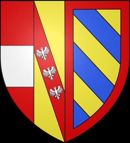
Florenville (municipality)
Belgium /
Luxemburg /
Florenville /
World
/ Belgium
/ Luxemburg
/ Florenville
municipality, draw only border

Florenville is a Walloon municipality located in the Belgian province of Luxembourg. On 1 January 2016 the municipality had 5,639 inhabitants. The total area is 146.91 km², giving a population density of 38.38 inhabitants per km².
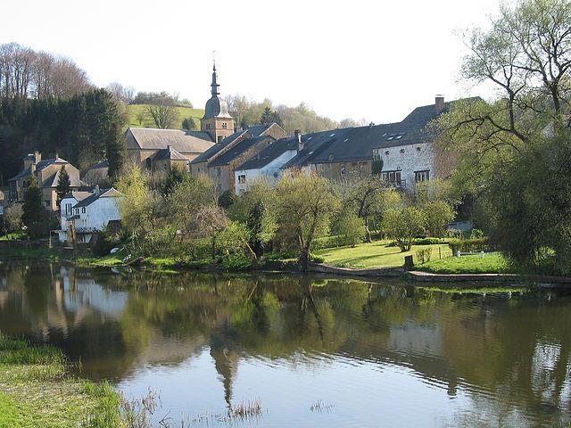
It is located on the Semois River, facing the French border.
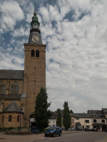
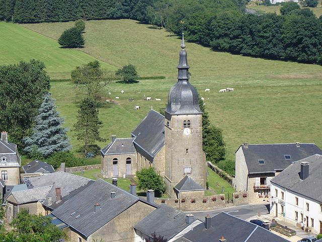
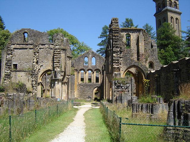
The municipality consists of the following sub-municipalities: Florenville proper, Chassepierre, Fontenoille, Lacuisine, Muno, Sainte-Cécile, and Villers-devant-Orval. Other population centers include: Azy, Conques, Laiche, Martué, Lambermont, Le Menil, and Watrinsart.
It is located on the Semois River, facing the French border.
The municipality consists of the following sub-municipalities: Florenville proper, Chassepierre, Fontenoille, Lacuisine, Muno, Sainte-Cécile, and Villers-devant-Orval. Other population centers include: Azy, Conques, Laiche, Martué, Lambermont, Le Menil, and Watrinsart.
Wikipedia article: https://en.wikipedia.org/wiki/Florenville
Nearby cities:
Coordinates: 49°41'45"N 5°17'9"E
- Chassepierre 4.1 km
- Bouillon 22 km
- Floing 27 km
- Fleigneux 28 km
- Sedan 29 km
- Bouillon (municipality) 31 km
- Suippes Military Camp 73 km
- PEM (Polygone d'expérimentation de Moronvilliers) (CEA-DAM) 88 km
- Mourmelon Military Camp 91 km
- Somme-Yèvre 92 km
- Castle of the Forge Roussel 4 km
- SoGeTra - Besix Group 6.4 km
- Castle de Mohimont 8.5 km
- Quarry de la sablonnière 8.8 km
- Gribomont (Herbeumont) 14 km
- Saint-Médard - Herbeumont 14 km
- Rossignol castle 15 km
- Villemont castle 16 km
- Castle-farm of Sainte-Marie-sur-Semois 20 km
- Castel de la Trapperie 25 km