Viroinval
France /
Champagne-Ardenne /
Montigny-sur-Meuse /
World
/ France
/ Champagne-Ardenne
/ Montigny-sur-Meuse
municipality, draw only border
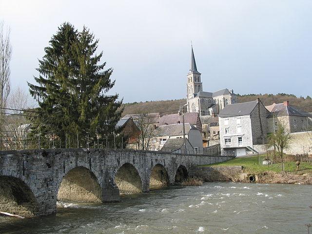
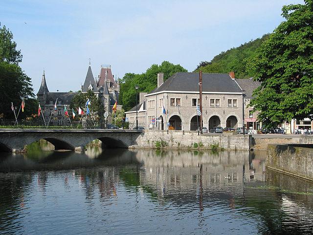
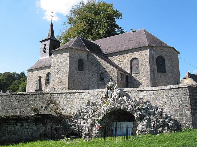
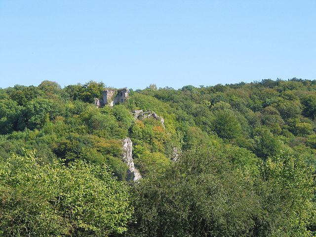
Viroinval (French pronunciation: [viʁwɛ̃val], Walloon: Virwinvå) is a Walloon municipality located in Belgium in the province of Namur. On January 1, 2006 Viroinval had a total population of 5,680. The total area is 120.90 km² which gives a population density of 47 inhabitants per km².
Wikipedia article: http://en.wikipedia.org/wiki/Viroinval
Nearby cities:
Coordinates: 50°2'59"N 4°37'27"E
- Gedinne 12 km
- Doische (Municipality) 18 km
- Beauraing (Municipality) 19 km
- Vresse-sur-Semois (municipality) 21 km
- Philippeville (Municipality) 23 km
- Chimay (Municipality) 32 km
- Momignies 35 km
- Beaumont (municipality) 43 km
- Charleroi 52 km
- Genappe (municipality) 70 km
- Belgian Red Cross, Refugee center 2.4 km
- Clos de Jamotine 7.5 km
- Castle Le Risdoux 7.7 km
- Castle of the counts of Bryas 8.4 km
- Menhir of Louette-Saint-Pierre 22 km
- Château-Regnault 22 km
- Levrézy 23 km
- Linchamps castle 24 km
- Braux 25 km
- N914 autoroute bridge 28 km