Western Settlement
Syria /
as-Suwayda /
Sahaba /
World
/ Syria
/ as-Suwayda
/ Sahaba
, 41 km from center (شهبا)
village, archaeological site, prehistoric
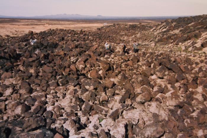
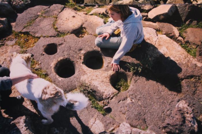
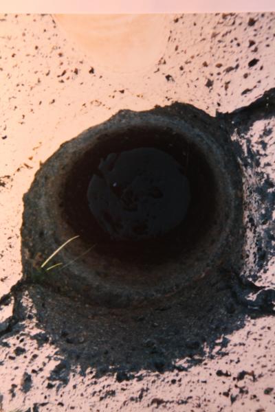
on both sides of the wadi Umbashi with different types of houses
Nearby cities:
Coordinates: 33°3'1"N 36°58'1"E
- Widyan al-Rabee' 54 km
- al-Kafr 55 km
- Otaybah 62 km
- Urman 62 km
- Ra's al `Ayn 107 km
- Rima / Rima farms 112 km
- Raas Al Maarra 114 km
- Al-Sahel 114 km
- The Aljfor area 122 km
- At Tanf 162 km
- Khirbat Jarbu` 10 km
- Shaqqa Subdistrict 12 km
- Al-Safa Volcanic Field 22 km
- Al-Mushannaf Subdistrict (PCS) 28 km
- As-Suwayda Governorate (PCS) 34 km
- Rif Dimashq Governorate (PCS) 46 km
- al-Arab Mountain 49 km
- Al-Dumayr Subdistrict (PCS) 50 km
- Saba Biyar Subdistrict (PCS) 76 km
- Line of the war shooting between the SAA and the fighters of IS 113 km