Al-Safa Volcanic Field
| volcanic plateau
Syria /
as-Suwayda /
Sahaba /
World
/ Syria
/ as-Suwayda
/ Sahaba
, 65 km from center (شهبا)
World / Syria / Rif Dimashq
volcanic plateau
Add category
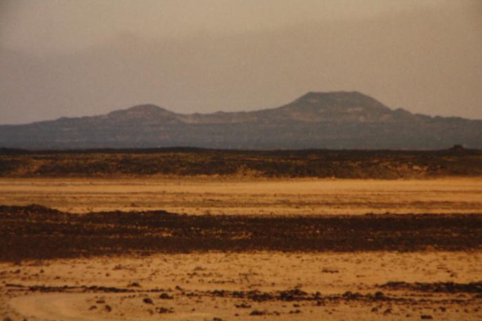
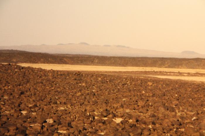
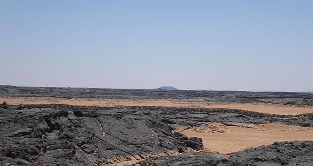
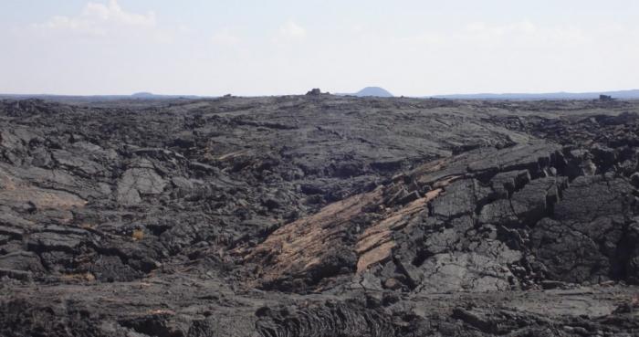
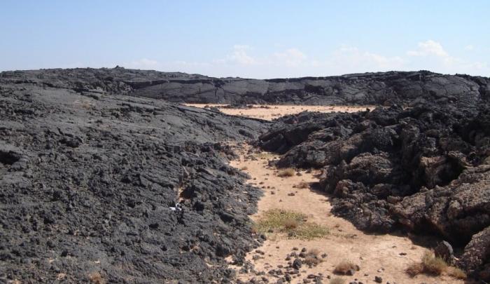
The al-Safa volcanic field, in southern Syria SE of the capital city of Damascas (Dimashq), consists of a lava field with broad areas containing Holocene volcanic vents. The basaltic field (also referred to as As Safa) contains numerous vents erupted from NW-SE-trending fissures, covering an area of 220 square kilometres, and contains at least 38 cinder cones. A boiling lava lake was reported in the Es Safa volcanic area in the middle of the 19th century. This volcanic field lies within the northern part of the massive alkaline Harrat Ash Shaam volcanic field that extends from southern Syria through NE Jordan to Saudi Arabia.
Wikipedia article: https://en.wikipedia.org/wiki/Al-Safa_(Syria)
Nearby cities:
Coordinates: 33°1'50"N 37°11'58"E
- The lava field of Harrat-Lunayir 852 km
- Harra es-Sawad Volcanic Field 2299 km
- Mega Basalt Field 3194 km
- Atakor Volcanic Field 3268 km
- Miocene lava field 4656 km
- Henglianghu area of the central-northern Qiangtang Block 4691 km
- Azas volcanic plateau 5239 km
- Kerguelen Plateau 9465 km
- Center of Ontong Java Plateau 12940 km
- Newer Volcanics Province 13369 km
- Qabr Umm Marzuqah 15 km
- Khirbat Jarbu` 28 km
- Shaqqa Subdistrict 28 km
- Al-Mushannaf Subdistrict (PCS) 28 km
- As-Suwayda Governorate (PCS) 42 km
- Rif Dimashq Governorate (PCS) 48 km
- Al-Dumayr Subdistrict (PCS) 52 km
- Saba Biyar Subdistrict (PCS) 58 km
- al-Arab Mountain 61 km
- Line of the war shooting between the SAA and the fighters of IS 108 km
Comments