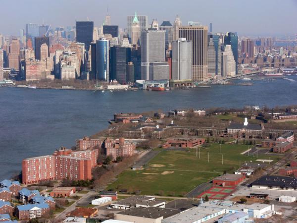
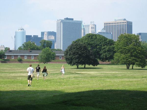
Governor's Island
| NRHP - National Register of Historic Places, green area, U.S. National Historic Landmark
USA /
New Jersey /
Jersey City /
World
/ USA
/ New Jersey
/ Jersey City
World / United States / New Jersey
island, NRHP - National Register of Historic Places, green area, U.S. National Historic Landmark
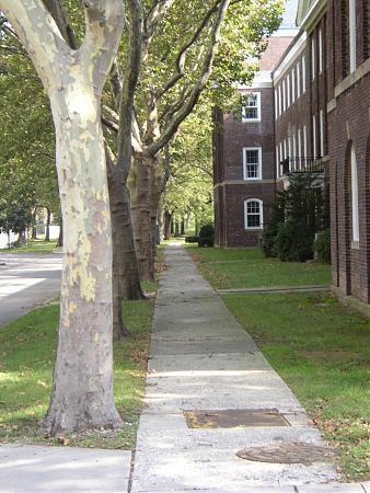
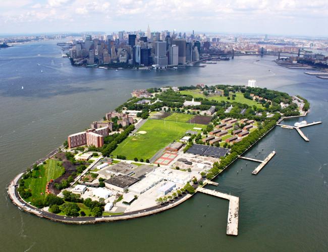
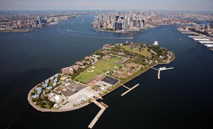
From 1776 to 1966 the island was a United States Army post. From 1966 to 1996 the island served as a Coast Guard station. The island's current name stems from British colonial times when the colonial assembly reserved the island for the exclusive use of New York's royal governors.
www.forgotten-ny.com/STREET%20SCENES/governorsisland2/g...
www.airfields-freeman.com/NY/Airfields_NY_NY_Brooklyn.h...
www.forgotten-ny.com/STREET%20SCENES/governorsisland2/g...
www.airfields-freeman.com/NY/Airfields_NY_NY_Brooklyn.h...
Wikipedia article: http://en.wikipedia.org/wiki/Governors_Island
Nearby cities:
Coordinates: 40°41'18"N 74°1'10"W
- Long Beach Island 105 km
- Wye Island 272 km
- Kent Island 272 km
- Middle Hooper's Island 326 km
- Bloodsworth Island 329 km
- South Marsh Island 334 km
- Smith Island, MD/VA 343 km
- Hog Island 388 km
- Cobb Island 401 km
- Smith Island, Virginia 424 km
- Buttermilk Channel 0.6 km
- Columbia Street Waterfront District 1.4 km
- Red Hook 1.7 km
- Brooklyn Heights 2.1 km
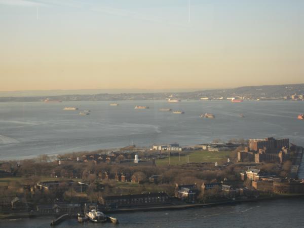
- Upper New York Bay 3.3 km
- Proposed Interboro Express Route 5.7 km
- Hudson County, New Jersey 6.7 km
- Brooklyn 8 km
- Manhattan 11 km
- Queens 13 km