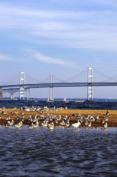
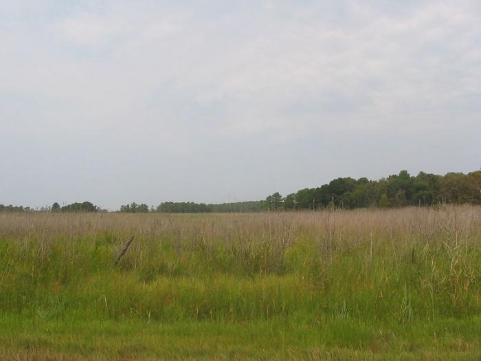
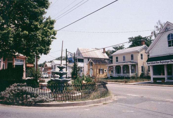
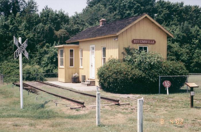
Kent Island
USA /
Maryland /
Stevensville /
World
/ USA
/ Maryland
/ Stevensville
World / United States / Maryland
island, draw only border
www.kentisland.cc/
Largest island in Chesapeake Bay.
William Claiborne of Virginia established a trading post, settlement and fort at the southern end of this island in 1631.
Lord Baltimore’s rights were resisted, which led to serious controversy until taken by armed forces in 1637.
www.hmdb.org/marker.asp?marker=3139
Wikipedia article: http://en.wikipedia.org/wiki/Kent_Island,_Maryland
Nearby cities:
Coordinates: 38°56'18"N 76°18'35"W
- Wye Island 11 km
- Middle Hooper's Island 72 km
- Bloodsworth Island 84 km
- South Marsh Island 92 km
- Smith Island, MD/VA 103 km
- Hog Island 172 km
- Cobb Island 181 km
- Long Beach Island 196 km
- Smith Island, Virginia 198 km
- Long Island Sound in New Rochelle, NY 308 km
- Matapeake, Maryland 4.2 km
- Stevensville, Maryland 4.5 km
- Chester, Maryland 4.6 km
- Blue Heron Golf Course 4.8 km
- "Nemo" Niedomanski Equestrian Trail 5.7 km
- Romancoke, Maryland 6.6 km
- Bay Ridge 13 km
- Talbot County, Maryland 24 km
- Queen Anne's County, Maryland 25 km
- Anne Arundel County, Maryland 27 km