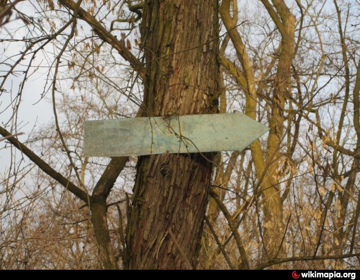
A pointer to a military unit (Dnipro)
Ukraine /
Dnipropetrovska /
Kirovske /
Dnipro
World
/ Ukraine
/ Dnipropetrovska
/ Kirovske
, 5 km from center (Кіровське)
signboard
Add category
Nearby cities:
Coordinates: 48°28'54"N 34°49'42"E
- Forestry plate
- Memorial sign near the church 6.4 km
- WWII memorial sign dedicated to the underground movement 8.6 km
- Navigational Sign “Do not Drop Anchor” 17 km
- A memorial sign in honor of the 100 - anniversary of the city 55 km
- "Monument to the deceased toilet" 72 km
- Globus 107 km
- Стелла 111 km
- Stele 121 km
- Geographical center of Zaporizhzhia province 147 km
- Barrier
- Forestry plate
- Cemetery 0.2 km
- Suhachivka 1.5 km
- Novokodatske Forestry 2.2 km
- Obukhivka Settlement Hromada 7 km