De Moeren
France /
Nord-Pas-de-Calais /
Les Moeres /
World
/ France
/ Nord-Pas-de-Calais
/ Les Moeres
village, draw only border
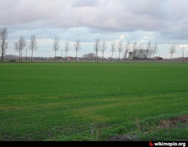

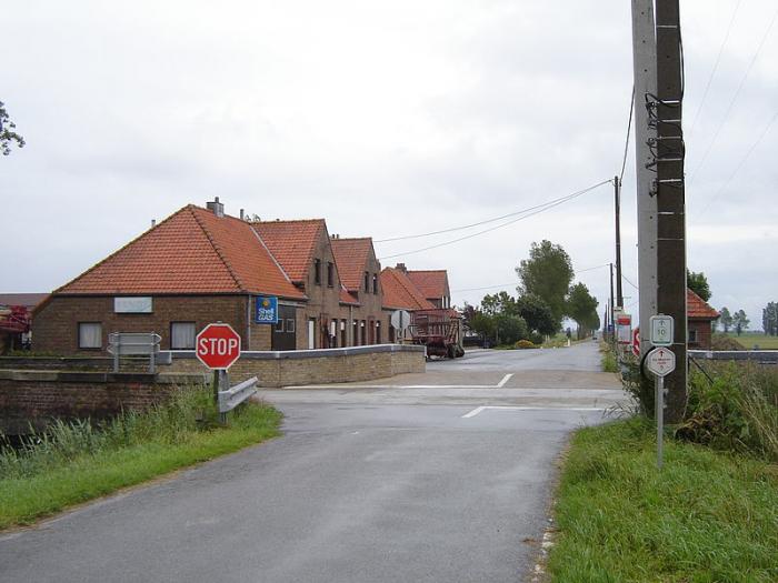
A small rural village in the west of the Belgian province of West Flanders and a borough of Furnes. The village is located on the same polder, which also looks at the French town 'De Moeren'(France) (Les Moëres) and part of 'Adinkerke' covers.
The village has no real core, the town was located in the small hamlet 'Moeresmisse'.
The more than 100 inhabitants mainly live in the farms across the country.
The deepest point of 'De Moeren' (-9 ft.) Is also the deepest point of Belgium.
[source wikipedia.nl]
The village has no real core, the town was located in the small hamlet 'Moeresmisse'.
The more than 100 inhabitants mainly live in the farms across the country.
The deepest point of 'De Moeren' (-9 ft.) Is also the deepest point of Belgium.
[source wikipedia.nl]
Nearby cities:
Coordinates: 51°2'10"N 2°35'38"E
- Alveringem (municipality) 1 km
- Veurne 6 km
- Veurne (municipality) 7.1 km
- Lo-Reninge (municipality) 7.5 km
- Beveren 7.9 km
- De Panne (municipality) 9 km
- Vleteren (municipality) 11 km
- Poperinge (municipality) 11 km
- Reninge 13 km
- Nieuwpoort 16 km
- Aérodrome de Dunkerque Les Moëres 3.1 km
- Moulin du Nord 5.8 km
- Demasso 6 km
- Saint Martin Church 6.1 km
- Shellhole craters Pont de Zuydcoote 1 (Unknown) 6.3 km
- Trenches Pont de Zuydcoote 2 (Unknown) 6.4 km
- Trenches Pont de Zuydcoote 1 (Unknown) 6.6 km
- Clachorre 6.9 km
- Camping Caravaning des Dunes 7.9 km
- Cemetery 10 km