Zavodskaya ulitsa, 17 (Kamensk-Shakhtinsky)
Russia /
Rostov /
Kamensk-Shakhtinskiy /
Kamensk-Shakhtinsky /
Zavodskaya ulitsa, 17
World
/ Russia
/ Rostov
/ Kamensk-Shakhtinskiy
, 1 km from center (Каменск-Шахтинский)
do not draw title, fenced area
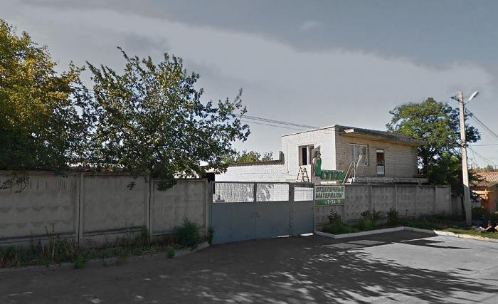
Zavodskaya ulitsa, 17 is a do not draw title, fenced area located at Zavodskaya ulitsa in Kamensk-Shakhtinsky. Zavodskaya ulitsa, 17 - Kamensk-Shakhtinsky on the map.
Nearby cities:
Coordinates: 48°19'47"N 40°15'20"E
- Joint territory of Kamensk Vocational School and Kamensk College of Construction and Car Service 0.8 km
- Kamensk-Shakhtinsky Central Municipal Hospital 2.4 km
- Construction depot 2.5 km
- Military Unit No. 2385 – Kamensk-Shakhtinsky Board Guard Detachment of the Border Guard Service of Russia 3.7 km
- Territory of Starostanichnaya secondary school 4 km
- Fenced warehouse area 5.5 km
- Warehouses 6.4 km
- Territory of former Kamenskdorstroy JSC 12 km
- Glubokonsky Seversky Donets bakery production plant 21 km
- Peremoga 500 kV-Substation 49 km
- Kamenskaya Station Freight Yard 0.2 km
- Rosfritt PJSC 0.3 km
- Kamenskaya Railroad Station 0.3 km
- Kamensk-Shakhtinsky City Water Supply & Treatment Station 0.5 km
- Mayakovsky Park 0.6 km
- Tree belt area 0.7 km
- Walkway on ulitsa Podtyolkova 1 km
- Riverside park 1 km
- Walkway on ulitsa Pusjina 1.2 km
- Walkway on ulitsa Maksima Gorkogo 1.3 km