Zursair la (5102 m)
India /
Uttaranchal /
Gangotri /
World
/ India
/ Uttaranchal
/ Gangotri
World / India / Jammu and Kashmir / Ladakh (Leh)
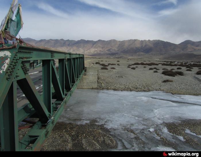
I thank Hermann Soldner for finding the precise location. There is a motorable rough road over this pass to Zarsar camp and 10 kms beyond- almost to the glaciers south of Imis la and Shelshel la.
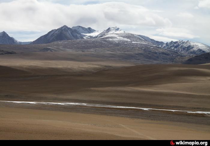
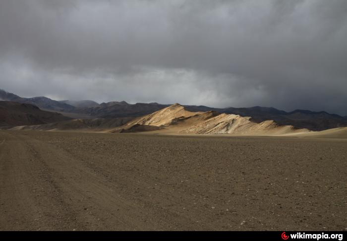
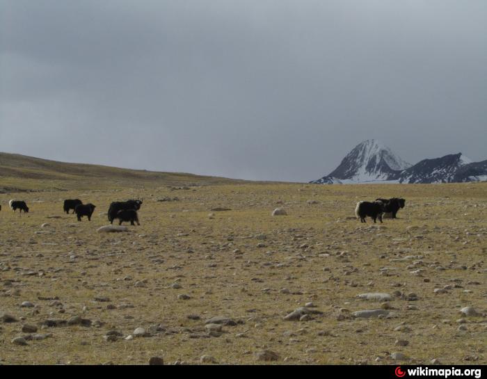
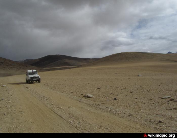
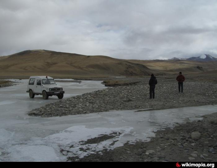
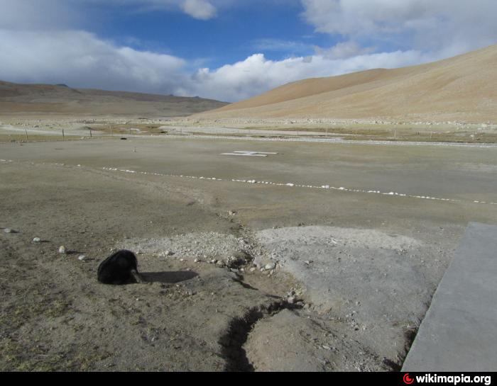
All around are some kind of grazing grounds & even though I could not see a single bush or strand of grass in December, 2010 I saw many yaks and pashmina goats out looking for something to munch on. These photos show the way from Hanle till this la. On the way till this la another la has to be crossed. In a few months a road avoiding that la will be completed. But till now getting here is a bit confusing as at places the terrain is so smooth that no road is necessary and one can get lost.
All around are some kind of grazing grounds & even though I could not see a single bush or strand of grass in December, 2010 I saw many yaks and pashmina goats out looking for something to munch on. These photos show the way from Hanle till this la. On the way till this la another la has to be crossed. In a few months a road avoiding that la will be completed. But till now getting here is a bit confusing as at places the terrain is so smooth that no road is necessary and one can get lost.
Nearby cities:
Coordinates: 32°28'15"N 79°0'13"E
- Draft 21 km
- Tsosip Sumkyil (Chulusongjie) 40 km
- Chinese occupied demchok 49 km
- Grey Zone after disengagement. 147 km
- Glacier 175 km
- Quake occurred at this place ; Magnitude 7.2 - Xinjiang-Xizang border region 398 km
- Ganyu 443 km
- Volcanic field 568 km
- large mining area 583 km
- Volcanic field 797 km
- Nilamkhul Plain 34 km
- Digpa Ratsa Ri (Mount Saraswati) 35 km
- Mankhang Thang 54 km
- Bursa Thang 56 km
- Chango Glacier 65 km
- Frozen Lake 67 km
- Frozen Indus 80 km
- Shiquanhe Reservoir 114 km
- Changthang Wildlife Sanctuary 116 km
- Dogyur Tso 130 km