Mankhang Thang
India /
Jammu and Kashmir /
Leh /
World
/ India
/ Jammu and Kashmir
/ Leh
World / India / Jammu and Kashmir / Ladakh (Leh)
plain
Add category
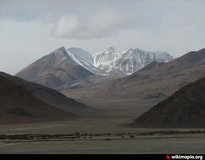
Mankhang Thang or Plain to the west or on the left bank of River Hanle
Another of the many Plains of the Changthang of Ladakh. Its unbeleivable and not immediately noticeabler but these Plains have large quantities of scrub and burtse on which the Changpas' goats feed on.
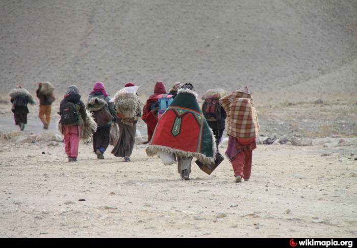
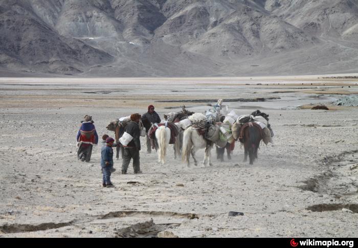
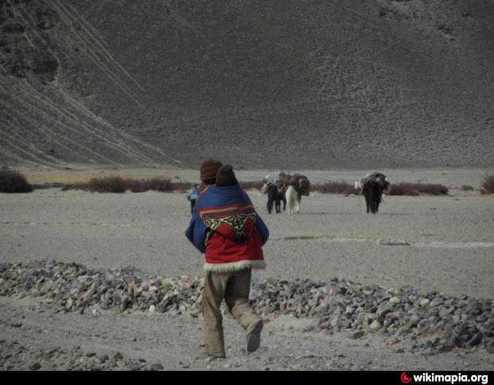
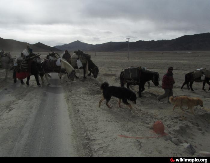
This group was coming down the dry bed of the Shochin Lungpa to the north of Bursa thang and through Bursa thang crossed the tarred Loma - Hanle road to Mankhang Plain. From here they would either go over Tagong la (4485 m) or Khuingnak la (further N) to Tograle and then to ribos near Tsomoriri. All this is the Changthang.
A tough life, but when they meet strangers they always smile.
Another of the many Plains of the Changthang of Ladakh. Its unbeleivable and not immediately noticeabler but these Plains have large quantities of scrub and burtse on which the Changpas' goats feed on.
This group was coming down the dry bed of the Shochin Lungpa to the north of Bursa thang and through Bursa thang crossed the tarred Loma - Hanle road to Mankhang Plain. From here they would either go over Tagong la (4485 m) or Khuingnak la (further N) to Tograle and then to ribos near Tsomoriri. All this is the Changthang.
A tough life, but when they meet strangers they always smile.
Nearby cities:
Coordinates: 32°56'38"N 78°53'10"E
- Shomali Plains 951 km
- Jiroft Plain 2078 km
- Rodbar-e Jonub Plain 2083 km
- Avkoh Alluvial Fan & Plain 2408 km
- Hamedan Plain 2820 km
- Baghasakan dasht 2909 km
- Miyandoab Plain 3037 km
- Ilkhchi Plain 3052 km
- Urumiyeh Plain 3112 km
- khoy Plain 3125 km
- Frozen Indus 27 km
- Dumchele 31 km
- Kalaktartar Plains 35 km
- Ukdungle 39 km
- Changthang Wildlife Sanctuary 63 km
- Chinese occupied demchok 65 km
- Tsosip Sumkyil (Chulusongjie) 88 km
- Frozen Lake 93 km
- Chango Glacier 113 km
- Shiquanhe Reservoir 133 km