Poltavskaya
Russia /
Krasnodar /
Poltavskaya /
World
/ Russia
/ Krasnodar
/ Poltavskaya
, 0 km from center (Полтавская)
World / Russia / Krasnodar
village, district center

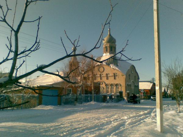
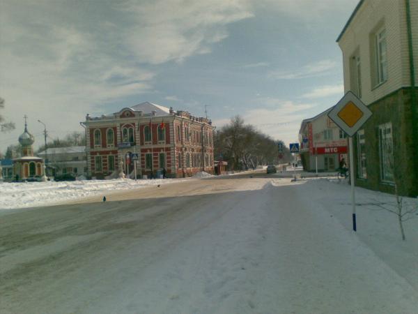

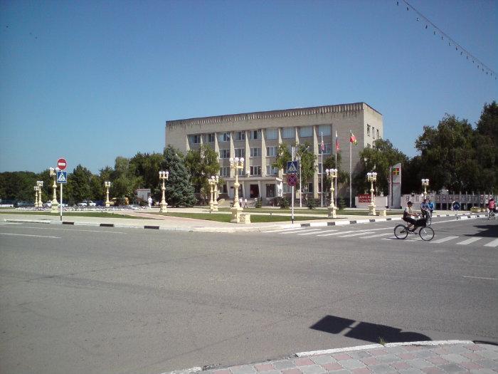

Poltavskaya (Russian: Полта́вская) is a village (stanitsa) and the administrative center of Krasnoarmeysky District of Krasnodar Krai, Russia, located on the Kuban River, 65 kilometers (40 mi) west of Krasnodar. Population: 26,490 (2010 Census).
Founded in 1794, it is one of the first forty settlements of Kuban Cossacks in the area. It was named after one of the 40 kurins that composed the Zaporizhian Cossacks Host. Initially the locality was known as kurin and accounted for only 460 people (298 men and 162 women). In 1807 it was almost completely destroyed by neighboring local mountainous tribes. Its status of stanitsa, the locality received in 1842. It supported the creation of the Kuban People's Republic.
Near the village, at 45°24′11″N 38°9′32″E / 45.40306°N 38.15889°E / 45.40306; 38.15889, is located a large facility for VLF-transmission. It is used for transmitting the RJH63 time signal and the RSDN-20 radio navigation signal. The antenna system consists of seven guyed masts, six of which are arranged in a row around a central mast. As result of its military importance, the facility is not shown on official maps and there are no technical data available
Wikipedia article: http://en.wikipedia.org/wiki/Poltavskaya
Nearby cities:
Coordinates: 45°21'43"N 38°12'35"E
- Trudobelikovsky 9 km
- Maryanskaya 41 km
- Novotitarovskaya 55 km
- Medvedovskaya 62 km
- Karla Marksa 64 km
- Staromyshastovskaya 66 km
- Industrialny 73 km
- Dinskaya 78 km
- Bryukhovetskaya 80 km
- Proletarsky 81 km
- ulitsa Lenina, 90 0.3 km
- Secondary school No. 1 0.5 km
- Internatsionalnaya ulitsa, 99 0.7 km
- Central Park 0.8 km
- Poltava Hotel 0.9 km
- Kindergarten No. 2 0.9 km
- Центральная районная больница Красноармейского района 1.4 km
- Ogorodnaya ulitsa, 34а 1.8 km
- Old cemetery 2 km
- Krasnodar RSDN-20 transmitter / Krasnodar Alpha transmitter 5.5 km