Cape Sarych (Sevastopol)
Ukraine /
Krym /
Parkove /
Sevastopol
World
/ Ukraine
/ Krym
/ Parkove
, 24 km from center (Паркове)
World / Ukraine / Sevastopol'
headland (geography), invisible
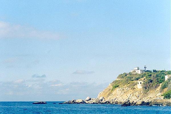
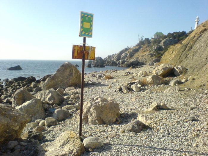

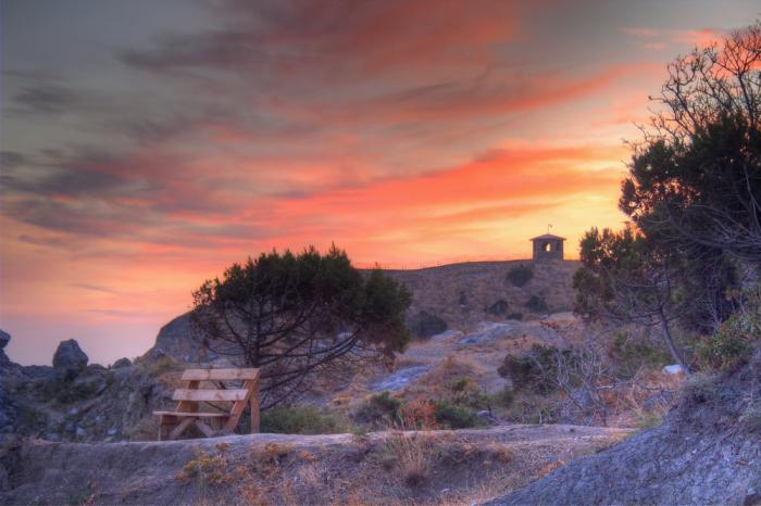
The southernmost point of the Ukraine. The cape is also famous for its lighthouse that being way far away from the Russian Naval base is a territorial property of the Russian government. That is, of course, in contradiction with the Constitution of Ukraine.
Wikipedia article: http://en.wikipedia.org/wiki/Sarych
Nearby cities:
Coordinates: 44°23'16"N 33°44'16"E
- Kaya-Bashi cape 19 km
- Dzhaldykhan Cape 186 km
- Kaldan Cape 188 km
- Langeron Cape 329 km
- Dolojman Cape & Argamum Fortress 384 km
- Ceatalul Ismail 406 km
- Cogea-Bair peninsula 411 km
- Cape Kaliakra 439 km
- Ikantalak Cape 454 km
- Garipçe Burnu 517 km
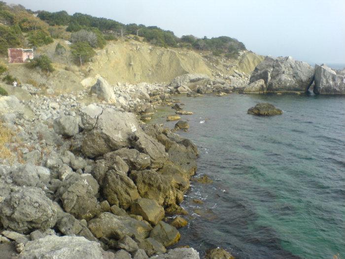
- Sarych Rocks 0.5 km
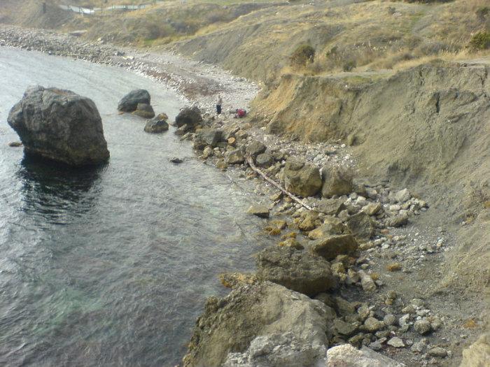
- "Galechnyi" Beach 0.7 km
- пансионат "Пальмида" 1.2 km
- Cottage "Foros" (State owned residency) 1.5 km
- Construction site 1.8 km
- Camping Tent Geraklea 1.9 km
- Anchorage Area N 396 3.6 km
- Baydarskaya Yayla 3.6 km
- Laspi bay 3.9 km
- Yalta Mountain-Forest Natural Reserve 20 km