Bucegi Mountains of the Southern Carpathians
Romania /
Prahova /
Sinaia /
World
/ Romania
/ Prahova
/ Sinaia
World / Romania
forest, massif, draw only border
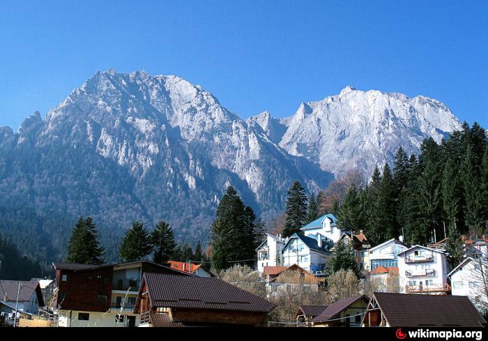
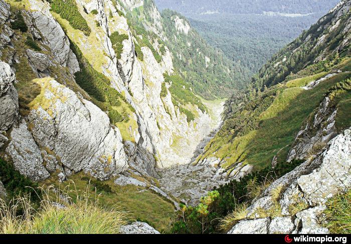
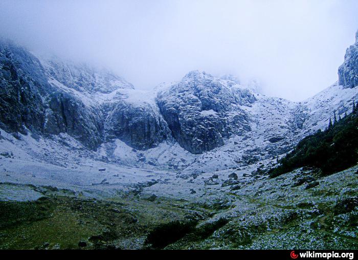
Bucegi Mountains (Romanian: Munţii Bucegi [Hungarian: Bucsecs-hegység) are situated in central Romania, south of Brasov city.
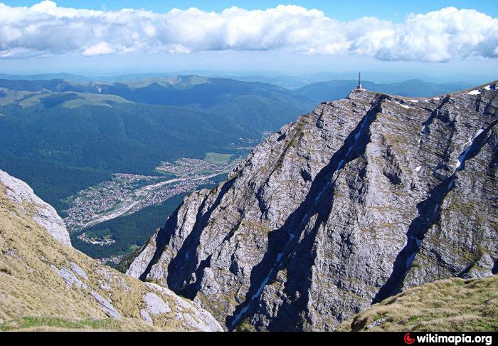
They are part of the Southern Carpathians, cover a surface of over 300 square kilometers and rise to 2,505 meters (8,216 ft) above sea level.
Omu peak is the highest spot and the unique feature of this mountain range is represented by the vast plateau located 2,000 meters asl.
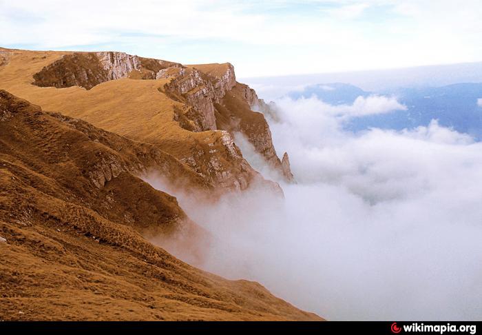
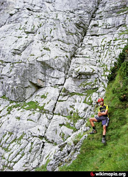
At lower elevations, Bucegi mountains are described by incredibly steep slopes (more than 1,500 meters high) and sharp edges forming spectacular sceneries and offering the ideal terrain for hiking, trekking or climbing.
They are part of the Southern Carpathians, cover a surface of over 300 square kilometers and rise to 2,505 meters (8,216 ft) above sea level.
Omu peak is the highest spot and the unique feature of this mountain range is represented by the vast plateau located 2,000 meters asl.
At lower elevations, Bucegi mountains are described by incredibly steep slopes (more than 1,500 meters high) and sharp edges forming spectacular sceneries and offering the ideal terrain for hiking, trekking or climbing.
Wikipedia article: http://en.wikipedia.org/wiki/Bucegi_Mountains
Nearby cities:
Coordinates: 45°22'26"N 25°27'37"E
- "Piatra Mare" Mountains 29 km
- Postăvarul Mountains 30 km
- Bogăţii Forest 67 km
- Domneasca Forest 164 km
- Pietricica Hill 170 km
- Tarcău Mountains (1664 m) 174 km
- Hăşmaş Mountains 179 km
- Giurgeu Mountains 181 km
- Ceahlău Massif 189 km
- Dobrina forest 237 km
- Cheile Tătarului 2.5 km
- Bear's cave 2.9 km
- Lacul Bolboci 3.8 km
- Canionul Horoabe 4 km
- Bolboci Dam 4.5 km
- Saua Dichiului 4.7 km
- Vârful Bătrâna 6.5 km
- Hole ( Gaura ) Valley 7.8 km
- Ciubotea Valley 9 km
- Brașov County 46 km
Comments