Tsyhanskyi Yar (Luhansk)
Ukraine /
Luhanska /
Luhansk
World
/ Ukraine
/ Luhanska
/ Luhansk
, 3 km from center (Луганськ)
World / Ukraine / Luhans'k
quarter (urban subdivision)
Add category
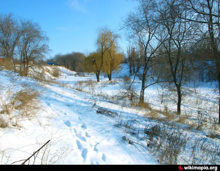
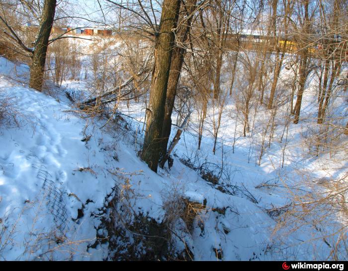
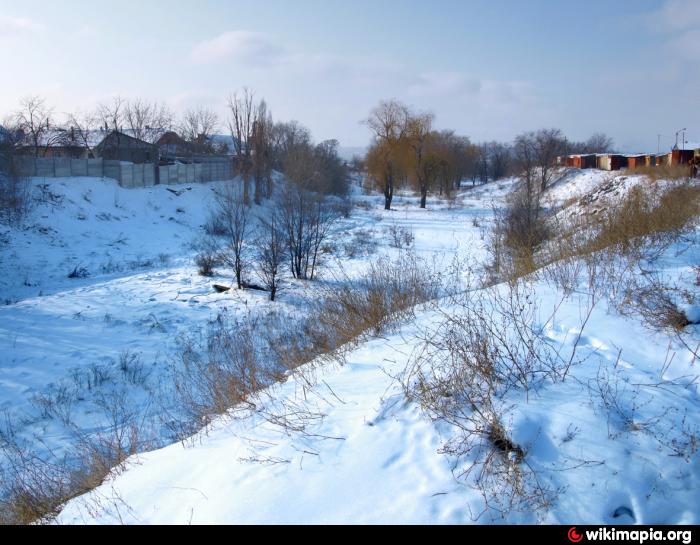
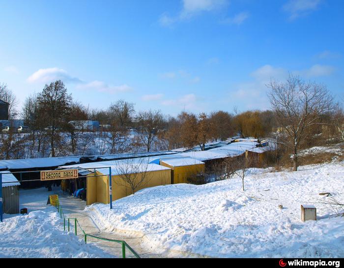
Tsyhanskyi Yar stands for 'Gypsy gulley', in 1950-1960 there was a Rom sesttlement, it was destroyed in 1970s, gulley was mostly backfilled, in 1980 there was a failed attempt to make a park here. Now there is a part of market and remains of the failed park - ruined fountains and trees. Sometimes Tsyhanskyi Yar name is applied not to gulley alone, but also to the streets in its vicinity - Lermontova, Yakubovskogo, Professionalna, Gubskogo and others.
Many Roms still live on the nearby streets.
Many Roms still live on the nearby streets.
Nearby cities:
Coordinates: 48°33'47"N 39°18'19"E
- Settlement of O.R. plant 2.8 km
- Oleksiivka 31 km
- VRZ microdistrict 70 km
- Maloriazantseve 78 km
- Area of mines no. 17 and Donetska 79 km
- Area of the railway station 79 km
- Chervone Mistechko 90 km
- Vatutina 91 km
- Karpivka 92 km
- Zabakhmutka 96 km
- Luhansk casting and mechanical plant 1.1 km
- Pipe works named after Yakubovskyi 1.6 km
- Stare misto (Old town) 1.7 km
- Luhansk machinery plant named after O. Parkhomenko 1.8 km
- Luhansk Railway station 1.9 km
- Husynivka 3 km
- Kamianobridskyi District 4 km
- Artemivskyi District 4.8 km
- Leninskyi District 5.3 km
- Zhovtnevyi District 9 km